Overview
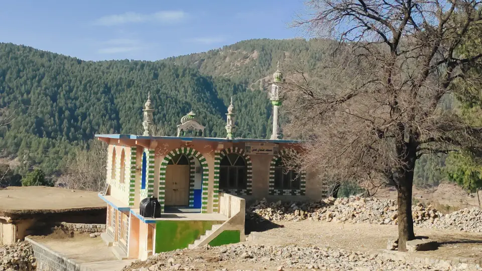
A descent route linking the village of Mera Rehmat Khan, on the slopes below Thandiani, with Kakul, home of the Pakistan Military Academy. The intermediate points Lamba Nakka and Dum Kachh appear to be local names not recorded online.134
A little history
Kakul was rural land until a Boer War prisoner-of-war camp was set up around 1899-1902; it later became an army mountaineering and PT school and, after 1947, the Pakistan Military Academy.1
A planned second phase of the Abbottabad chairlift project was to run a cable car from Mera Rehmat Khan on to Patti Forest and Thandiani.3
How to get there
Kakul can be reached from Abbottabad's main bazaar by rickshaw or bus towards Kakul, or on foot along Kakul Road (about 5 km).5
Mera Rehmat Khan is the upper end of the Abbottabad chairlift that starts at Township near Nawansher.3
Highlights
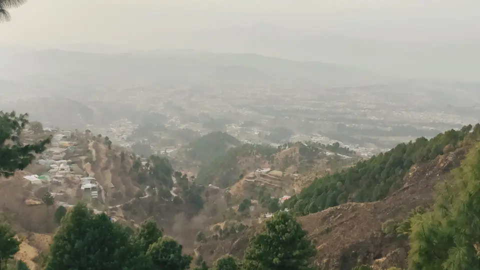
- Views over the Kakul valley and the Pakistan Military Academy1
- Start near the Abbottabad chairlift top station3
Points along the way
| Point | Figure |
|---|
| Kakul elevation (point, not the trail) | 1532 m per English Wikipedia; 1,300 m per Simple English Wikipedia (sources disagree)12 |
|---|
Before you go
- PMA Kakul is a military area; stay on public paths and avoid photographing military installations.1
- Leopards live in these hills and have attacked people locally; avoid walking alone at dusk.6
- Carry water and tell someone your route and expected return time.
Still to record Distance, Highest point, Elevation gain, Duration, Difficulty, Best season, Mera Rehmat Khan elevation, Lamba Nakka location, Dum Kachh location. We only publish figures we can source.