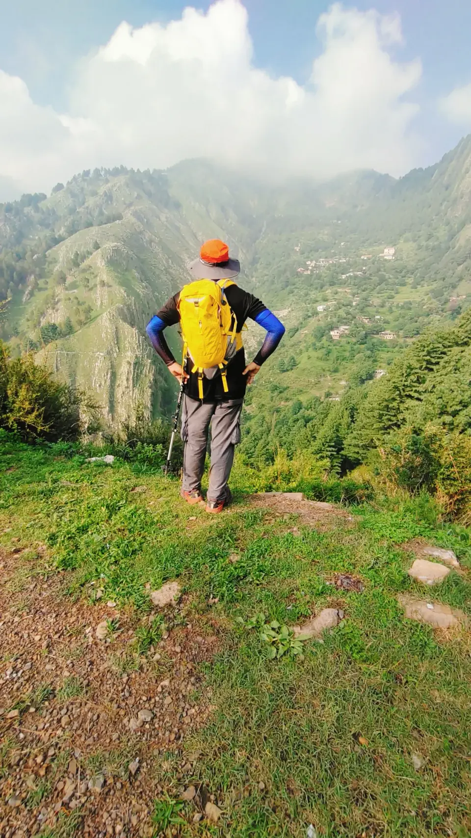
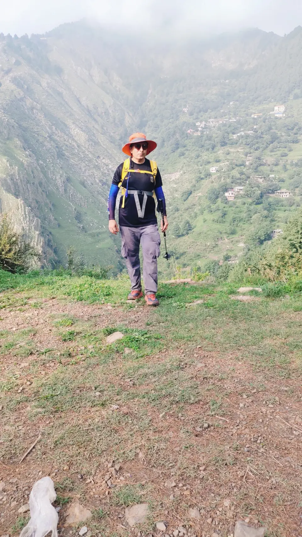
Overview
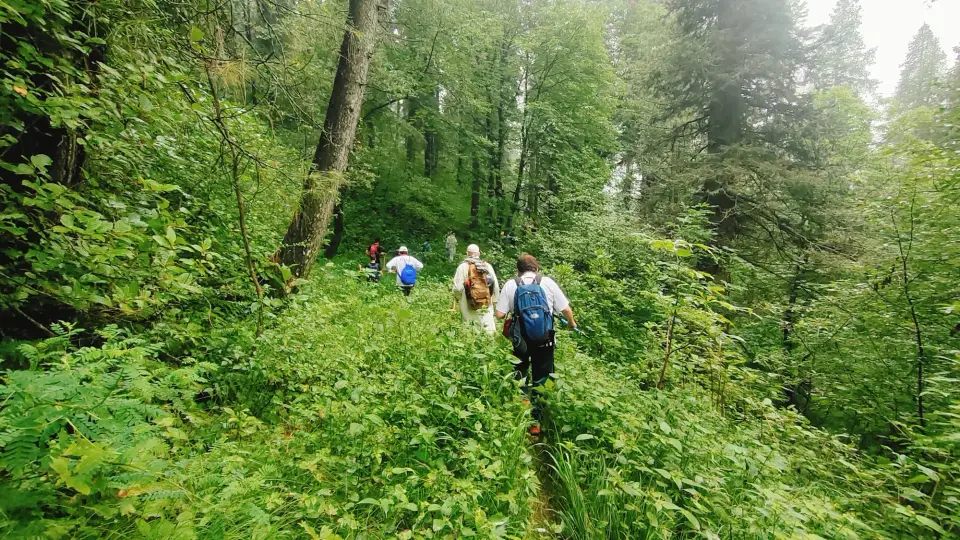
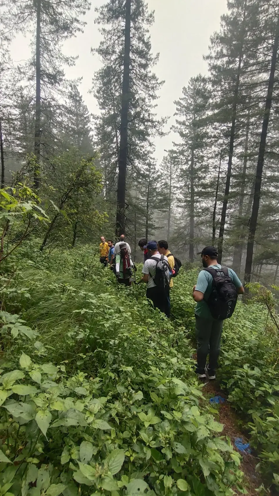
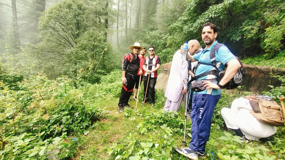
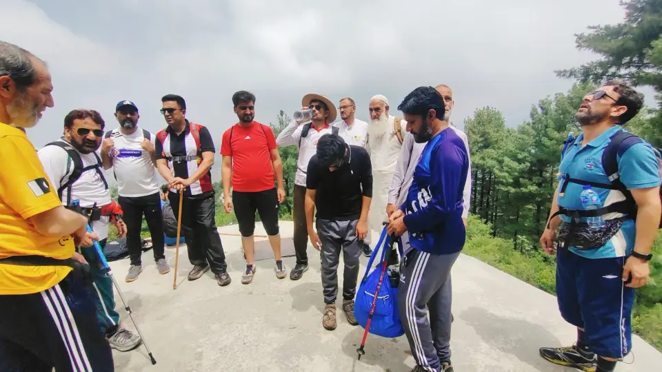
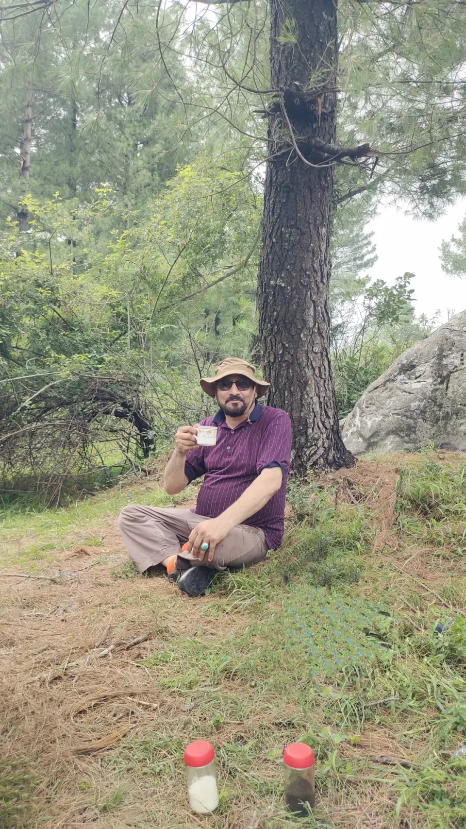
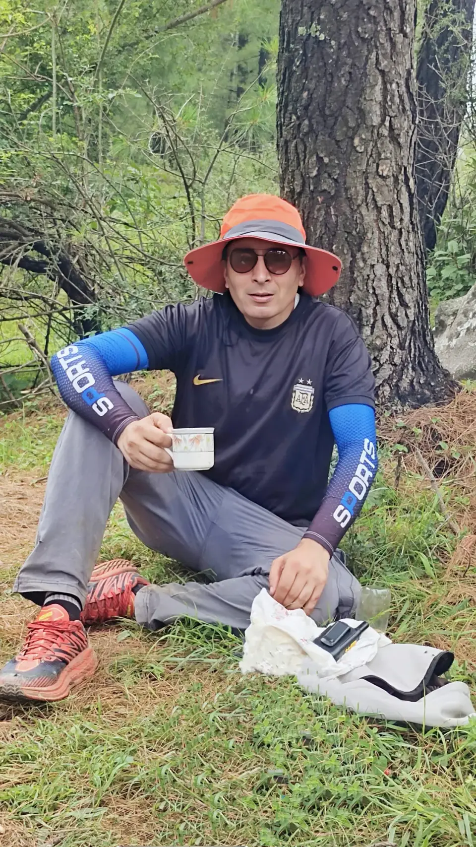
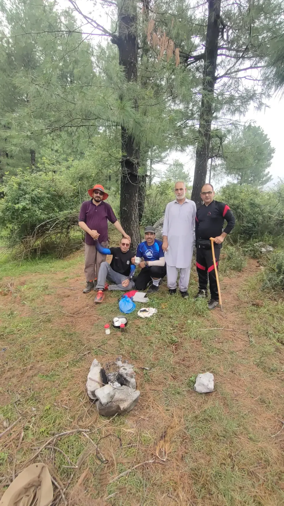
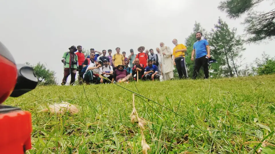
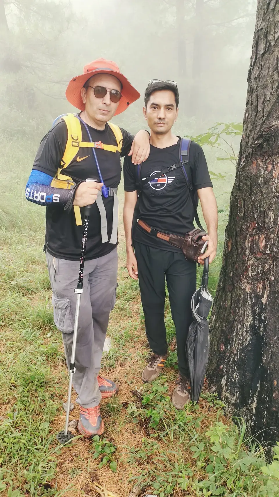
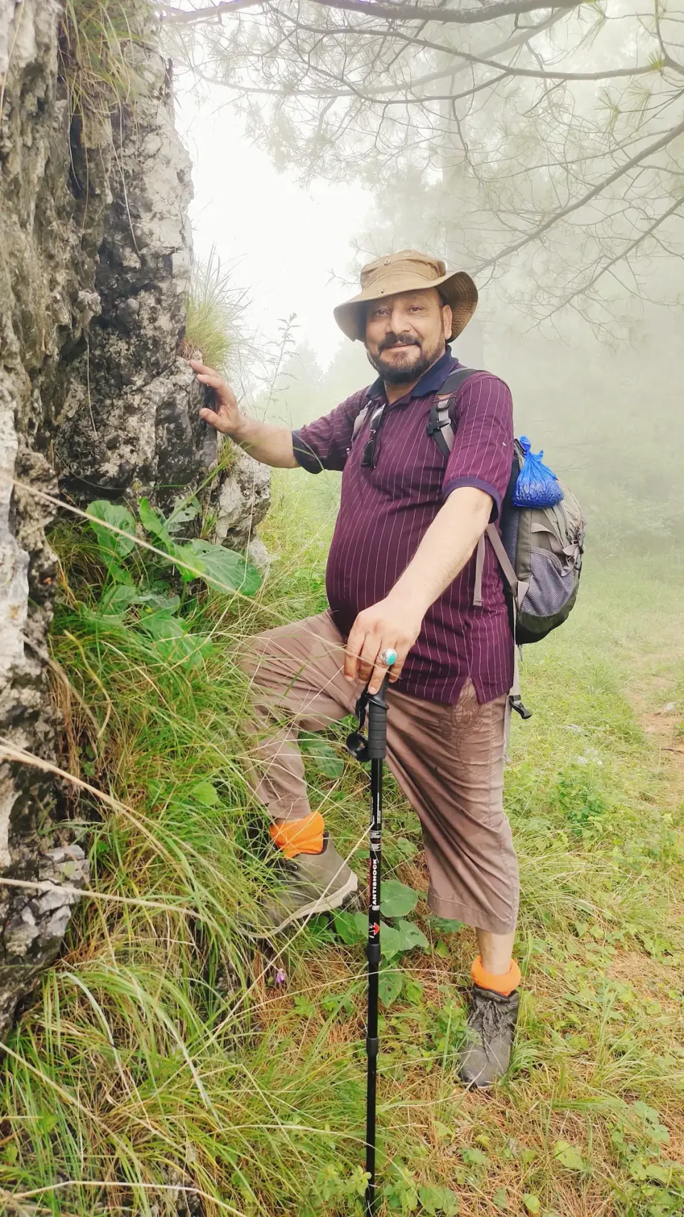
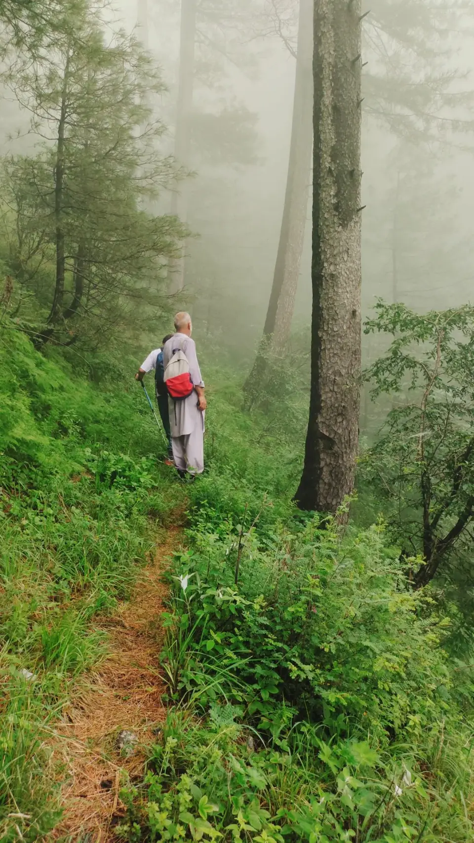
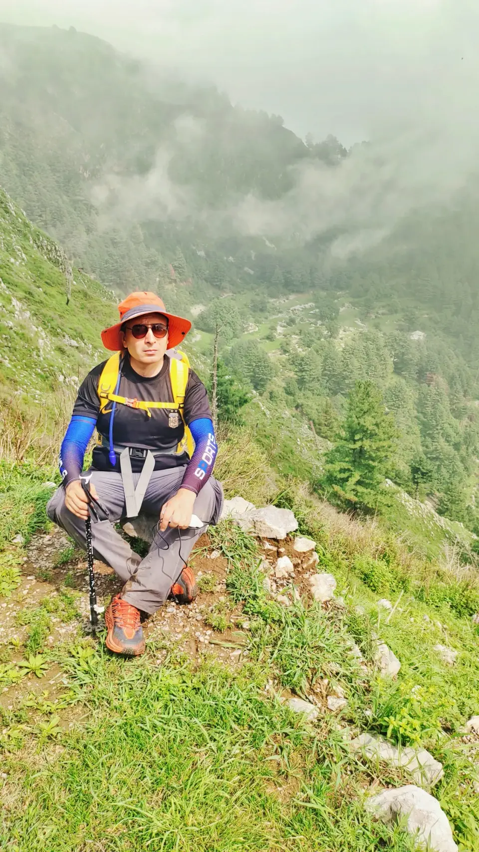
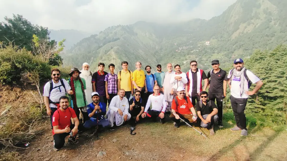
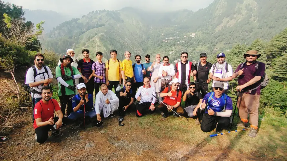
A forest walk from the Thandiani ridge, starting at Barmi Gali, down towards Jhafar, a settlement in Beeran Gali Union Council between the Thandiani and Miranjani mountains.12
A little history
The Beeran Gali area, which includes Jhafar, was once known as Baad Burhan and was described as beautiful by Al Biruni around 1030.2
Thandiani was a British-era hill station with a church-run sanatorium.3
How to get there
Thandiani is about 37.5 km north-east of Abbottabad; Graana gives about 3 hours by bus from Abbottabad or about 3 hours by car from Islamabad via the Hazara Motorway.35
From the Beeran Gali side, Pak Frugal Traveler describes reaching Beeran Gali from Abbottabad via Harnoi Bazaar and a jeep track.6
Highlights
- Thandiani's slopes are among the most thickly forested hill-station areas around3
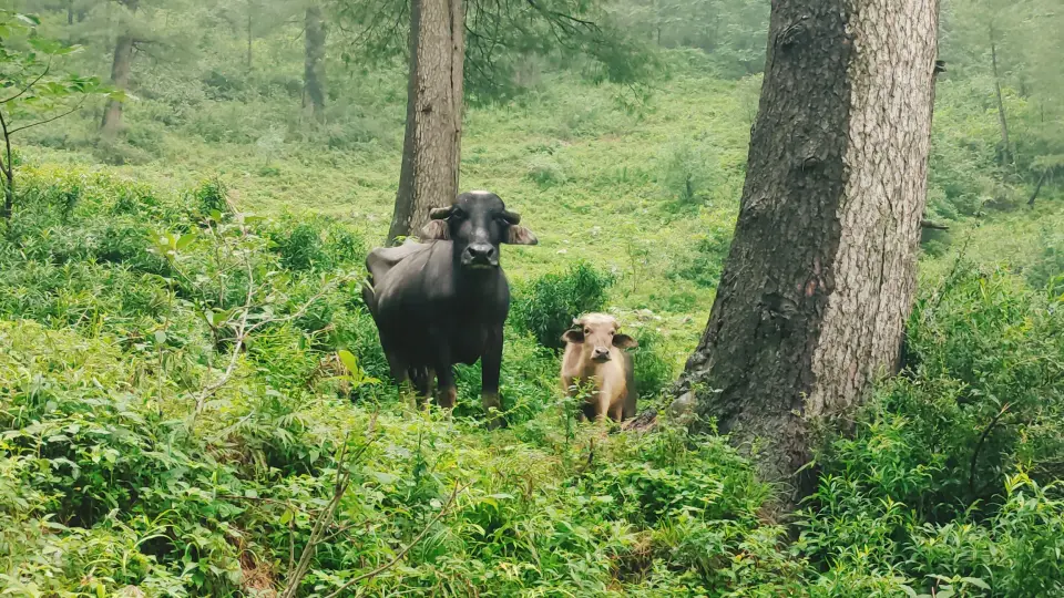
- Wildlife: leopards, monkeys, pheasants, flying squirrels, pine martens3
Points along the way
| Point | Figure |
|---|
| Thandiani elevation (point) | about 2,750 m / 9,020 ft (Wikipedia); 2,700 m (dashtnavard)34 |
|---|
| Beeran Gali elevation (point, the union council Jhafar belongs to) | 2,176 m / 7,142 ft average (Wikipedia); 1,900 m (dashtnavard)14 |
|---|
Before you go
- Leopards live in these forests; avoid walking after dark.34
- Carry enough water, tell someone your plan and check the weather; July is monsoon season.
Still to record start_point (Barmi Gali: no readable source), Distance, Highest point, Elevation gain, Duration, Difficulty, Best season, Jhafar coordinates/elevation. We only publish figures we can source.