

Thandiani to Nathia Gali
via Beeran Gali and DagriJul 16, 2024GaliyatHiked in summer
Overview
A long forest walk joining two Galiyat hill stations. From Thandiani the path drops to the village of Beeran Gali, climbs through thick oak forest to the Dagri rest house, then goes over Miranjani, the highest peak in Galiyat, before coming down to Nathia Gali.46
Most groups spend two or three days on it, staying overnight at forest rest houses, though some walk shorter variants.4
A little history
Thandiani was developed as a hill station in British times; land was leased to the Battye family and later passed to the Anglican church, which ran a sanatorium there.1
Nathia Gali was the summer headquarters of the Chief Commissioner of the old Peshawar division under British rule.3
The main building of the Dagri rest house was damaged in the 2005 Kashmir earthquake; a wooden hut remained usable.2
How to get there
Highlights
- Thandiani's slopes are among the most thickly forested of the area's hill stations1
- Miranjani Top, the highest peak of Galiyat46
- Dagri (Dugri) Bangla forest rest house midway24
- Nanga Parbat can be seen from the Nathia Gali area on clear days3
- Wildlife includes leopards, monkeys, pheasants and flying squirrels1
Points along the way
| Point | Figure |
|---|---|
| Thandiani elevation (point) | about 2,750 m / 9,020 ft (Wikipedia); 2,700 m (dashtnavard, how2havefun)146 |
| Beeran Gali elevation (point) | 2,176 m / 7,142 ft average (Wikipedia, The Mad Hatters); 1,900 m (dashtnavard, how2havefun)9746 |
| Dagri Naka / Dagri Bangla elevation (point) | 2,720 m / 8,924 ft246 |
| Nathia Gali elevation (point) | 2,410 m / 7,910 ft (Wikipedia); 2,520 m (dashtnavard); 2,500 m (The Mad Hatters)347 |
| Segment: Thandiani to Beeran Gali | 12 km in the Dasht-e-Navard distance table; the same post also says the rest house is 7 to 8 km from Thandiani and the mostly downhill walk takes no more than 3 to 4 hours42 |
| Segment: Beeran Gali to Dagri | 15 to 16 km, mostly uphill, 5 to 6 hours on average (Dasht-e-Navard); 13 km in 6 to 8 hours for Dugri to Beran Gali (Graana); other blogs give 15 km and 6 to 8 hours45678 |
| Segment: Dagri to Miranjani Top | 10-11 km (dashtnavard); 10 km (Wikipedia, The Mad Hatters, how2havefun)4276 |
| Segment: Miranjani Top to Nathia Gali | 8 km (dashtnavard, The Mad Hatters)47 |
| Segment: Thandiani to Dagri / Dagri to Nathia Gali | 27 km, 12 hours / 18 km, 8 hours (how2havefun)6 |
Before you go
- Carry plenty of water: the Dagri rest house has no water storage and how2havefun reports no springs on the way (suggests at least 3 litres).46
- Forest permission may be needed from the District Forest Office (Abbottabad or Mansehra) for rest house stays.4
- Start early and do not walk after dark; trails are narrow and leopards live in the area.47
- Porters can be hired at Thandiani; agree rates in advance.4
- Tell someone your plan and check the weather before setting out.
Still to record Elevation gain, exact route of the club's July 2024 walk (whether it crossed Miranjani). We only publish figures we can source.
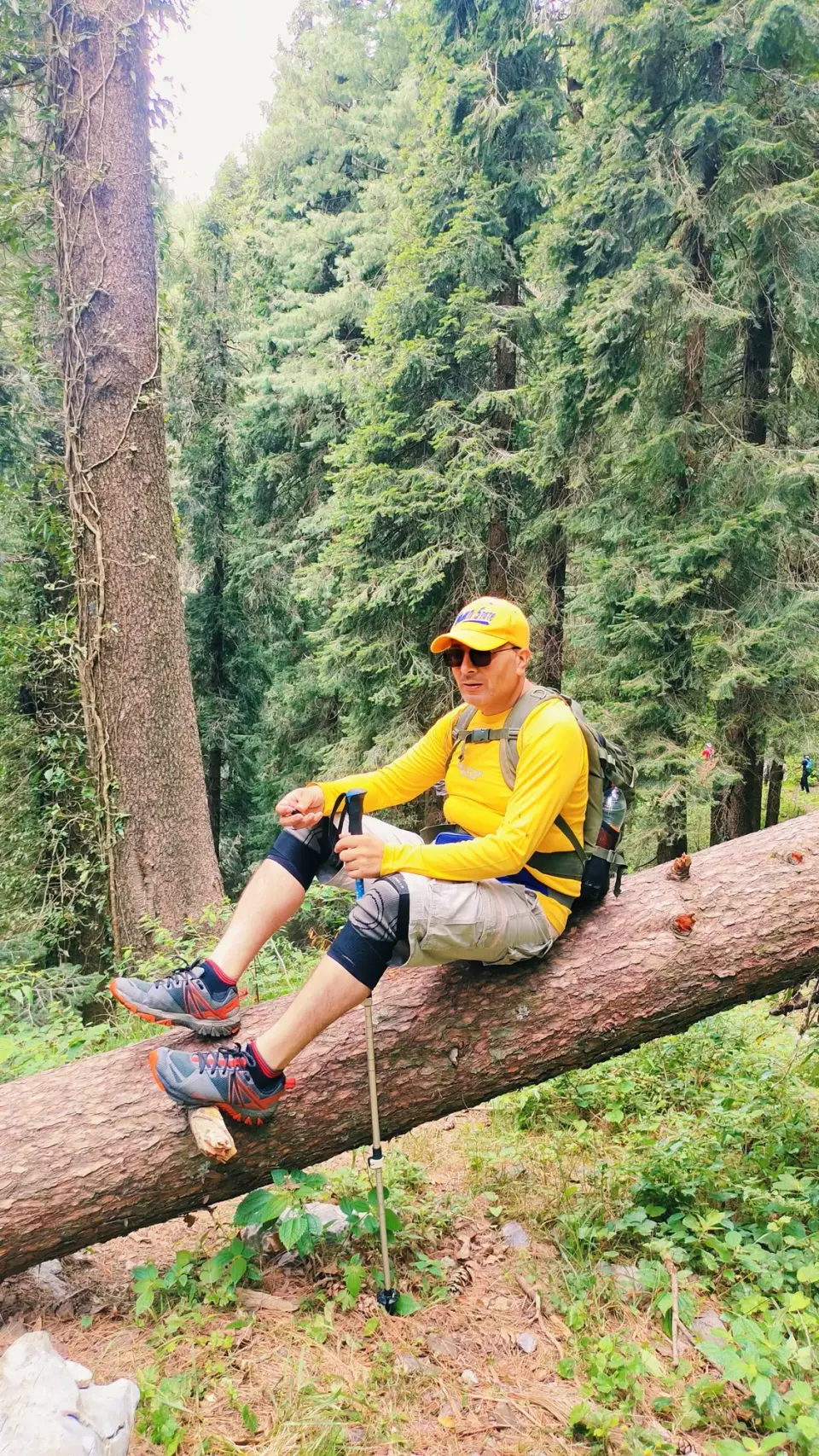
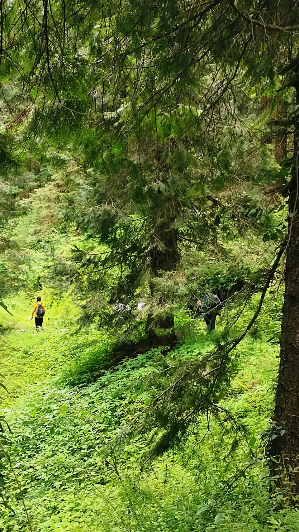
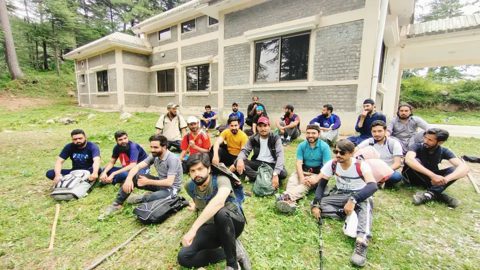
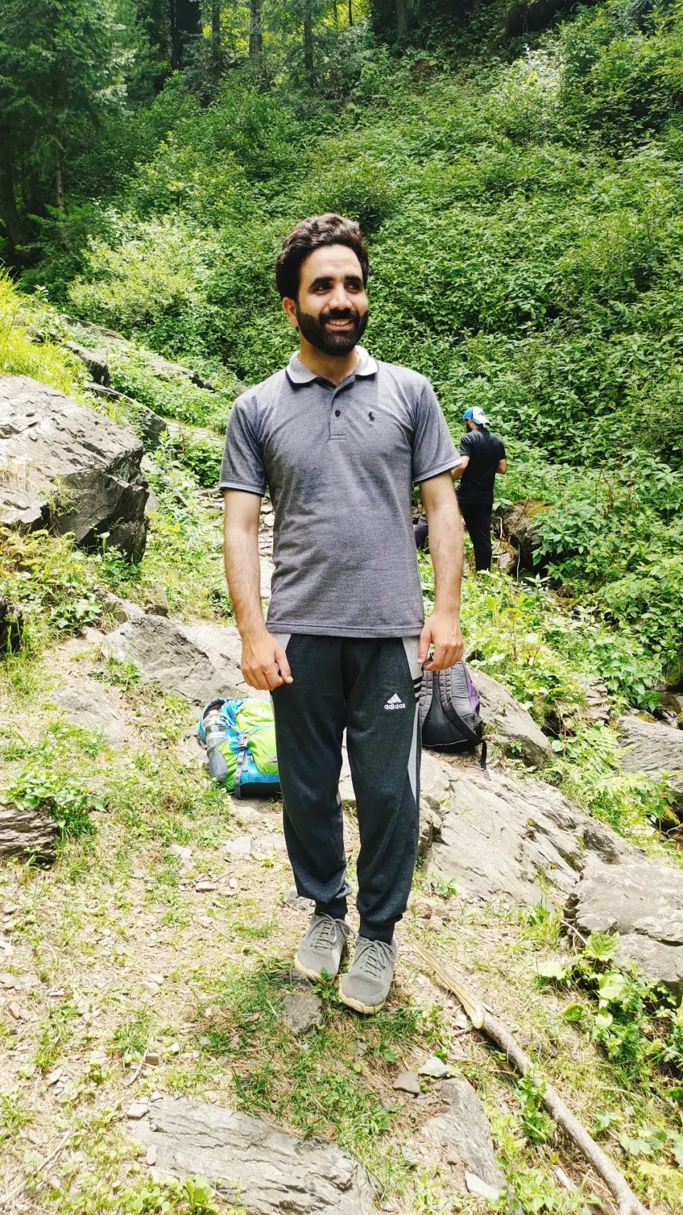
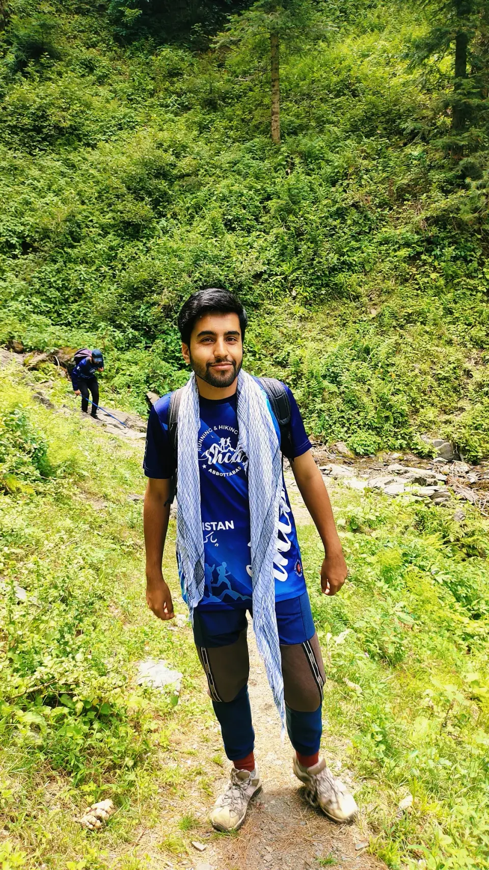
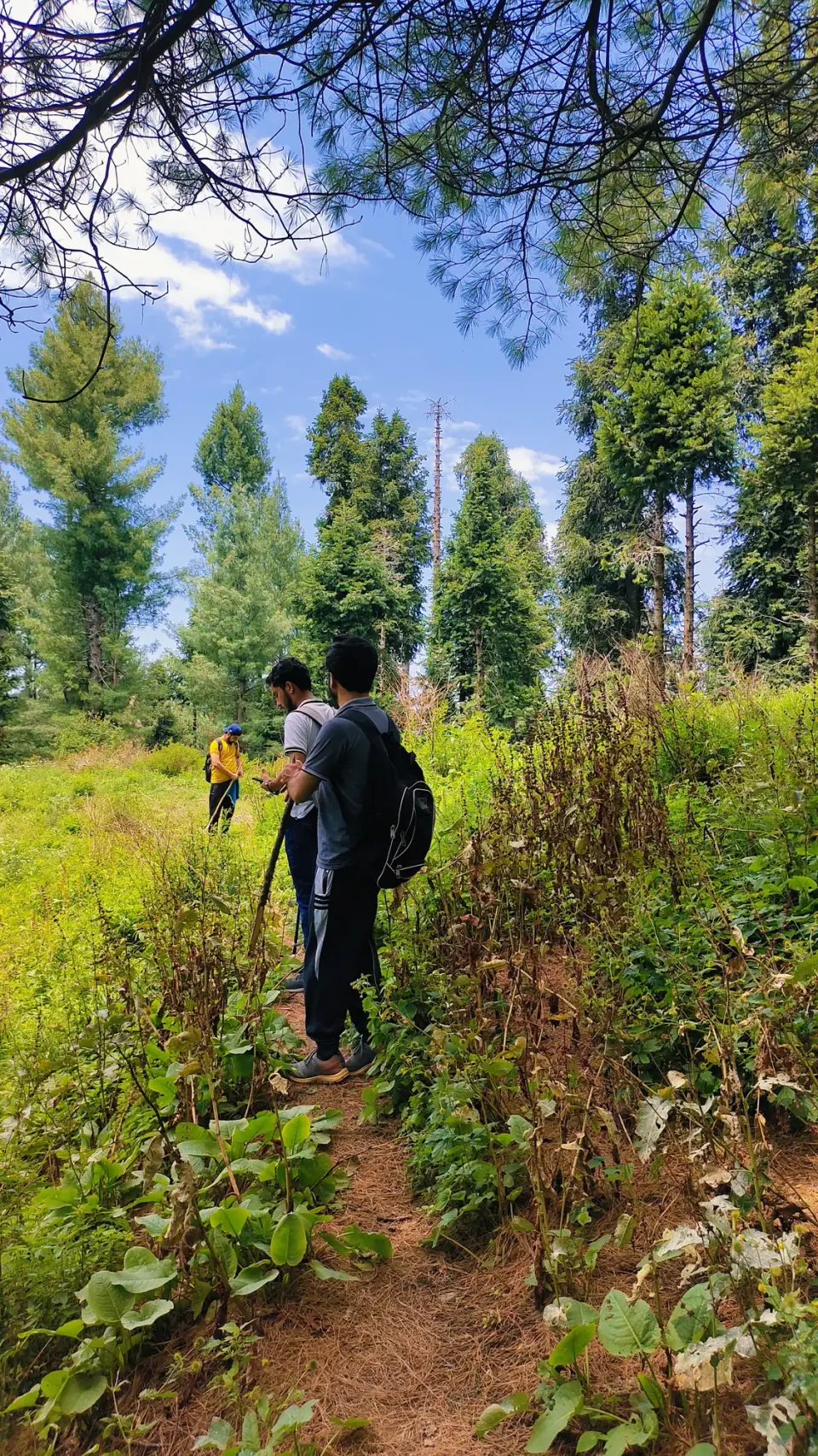
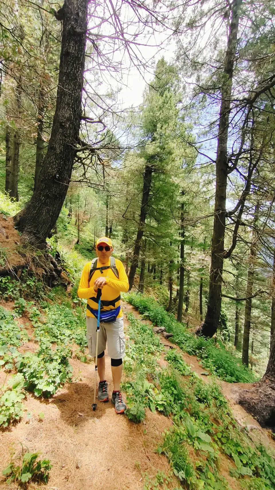
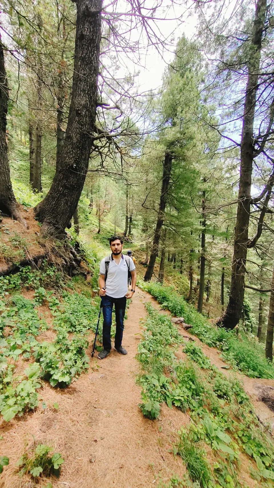
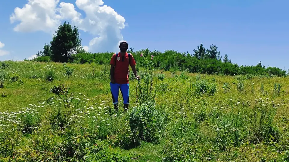
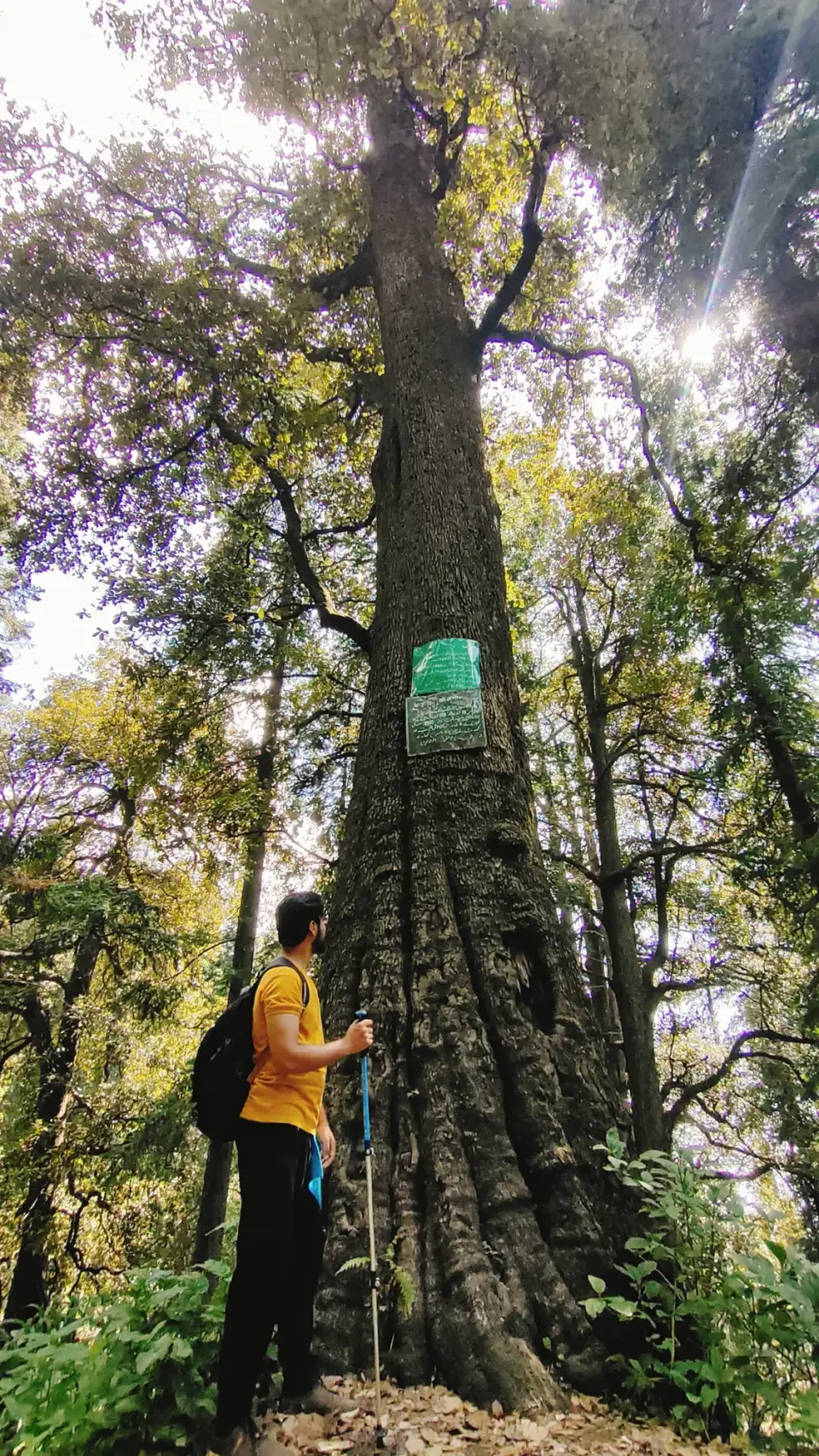
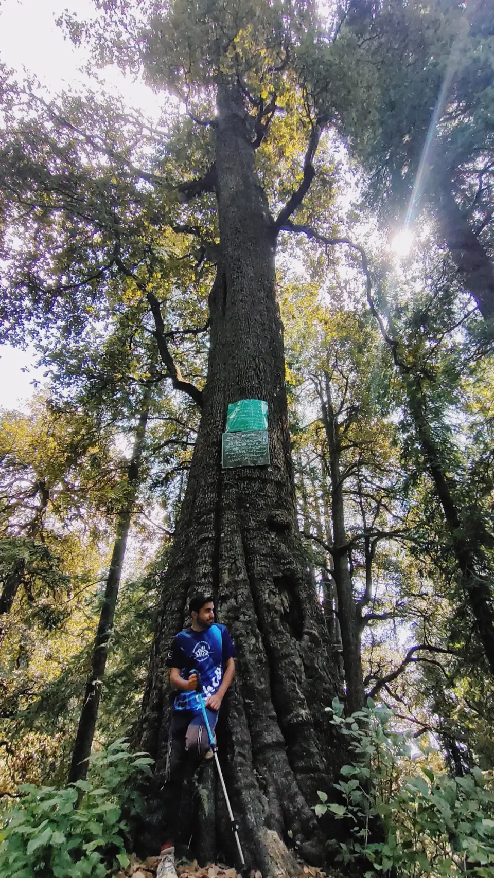
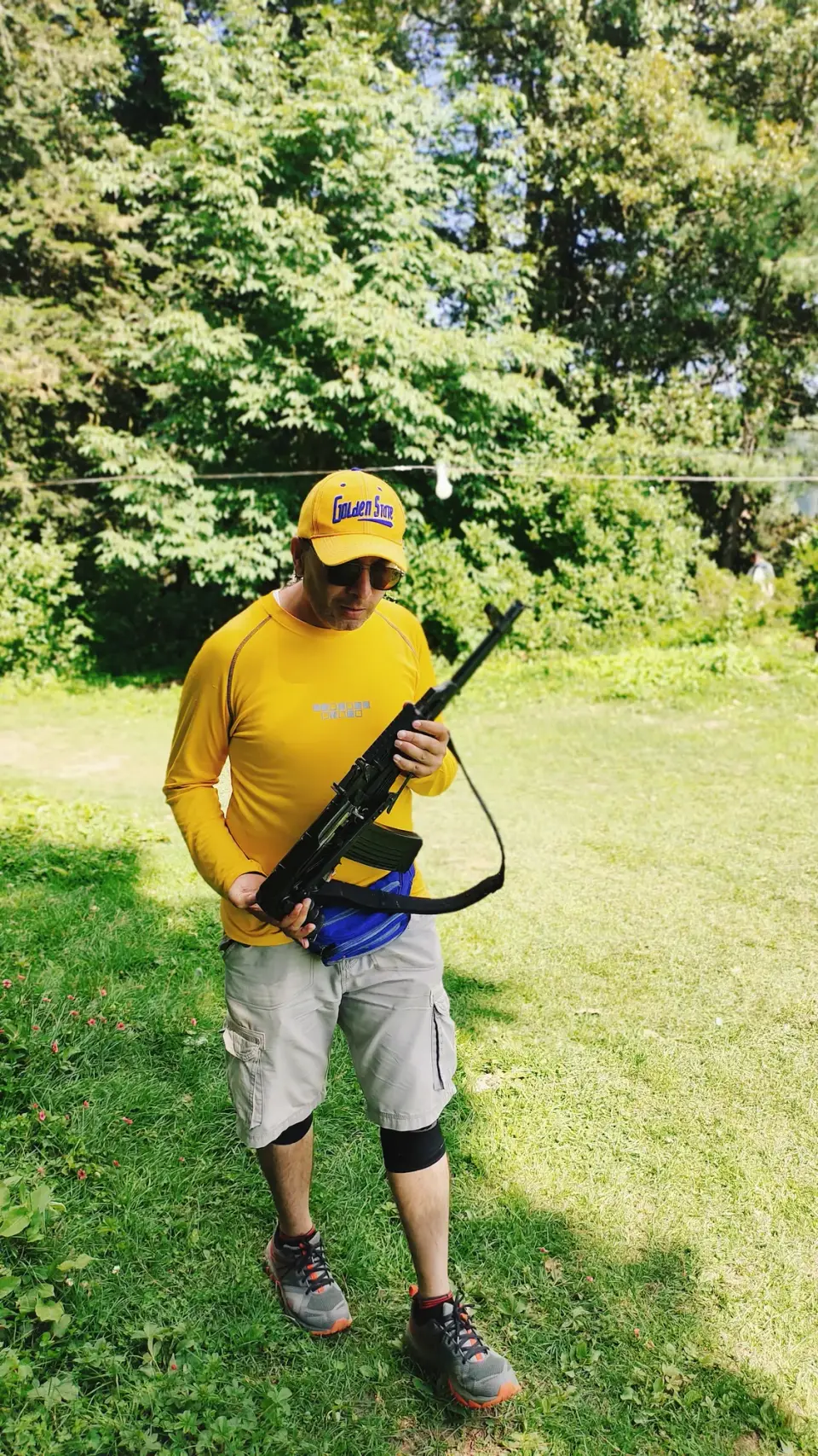
From the club album
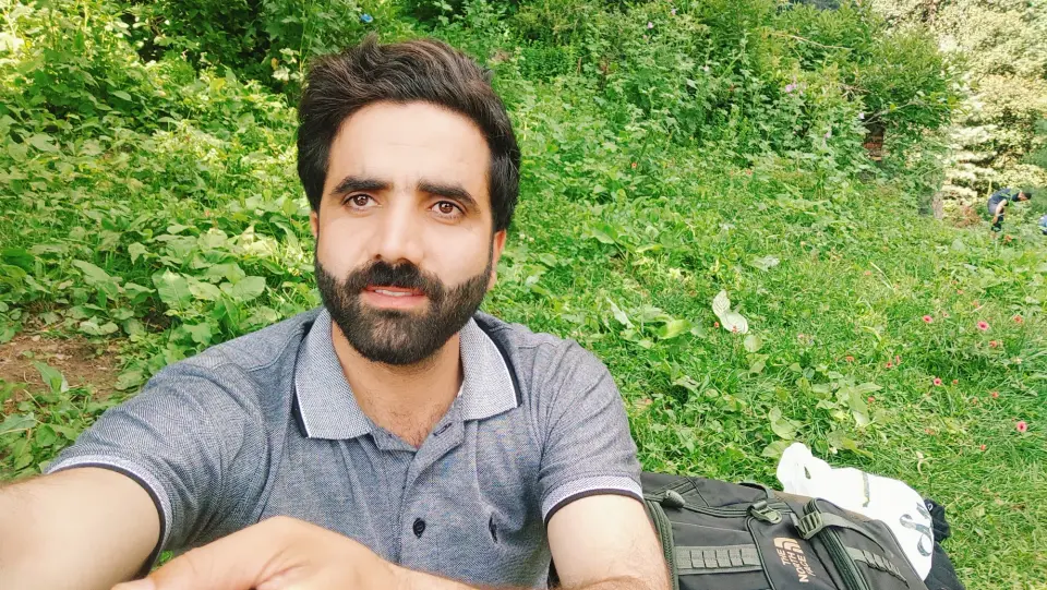
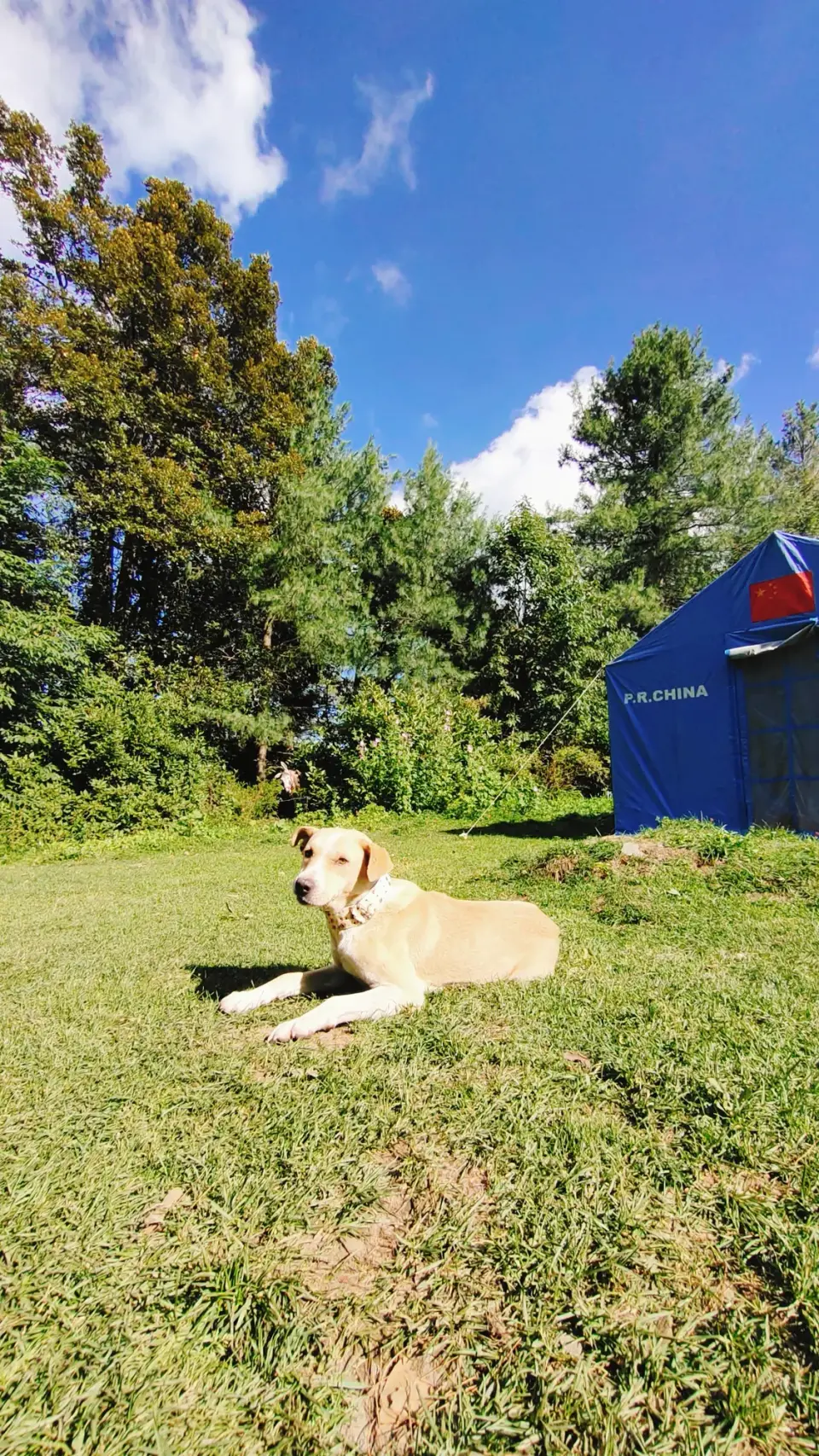
18 photographs
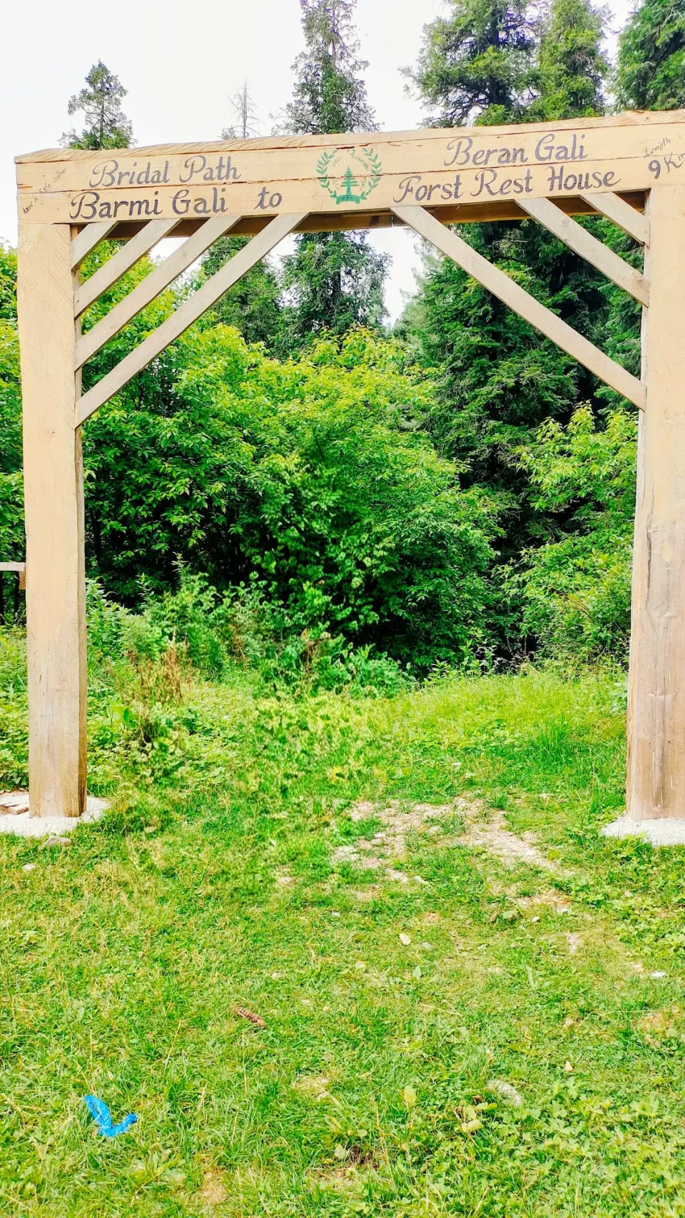
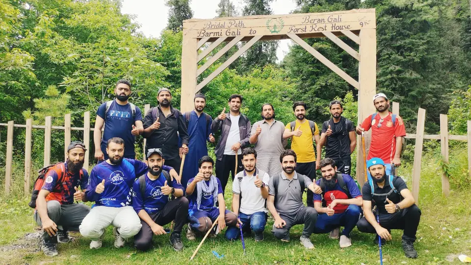
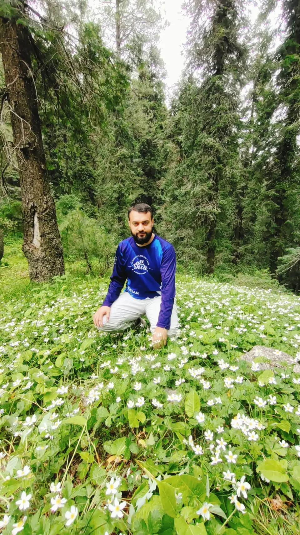
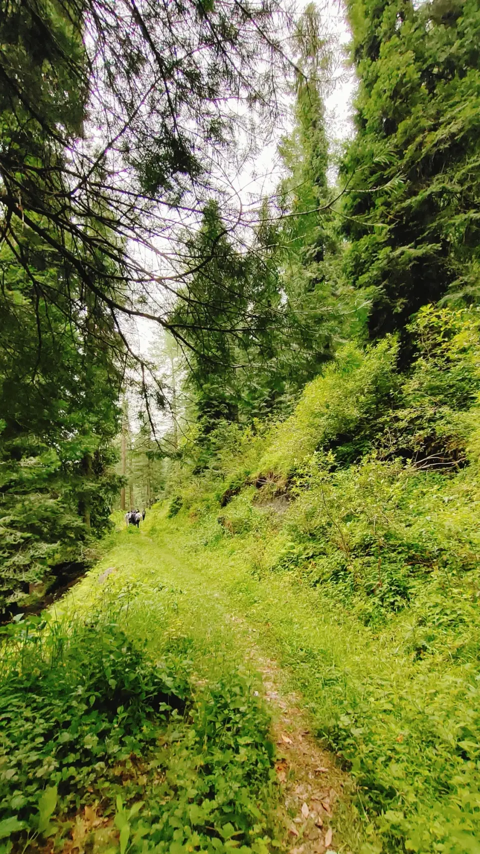
Sources
- Thandiani - Wikipedia
- Dagri Naka - Wikipedia
- Nathia Gali - Wikipedia
- Thandiani to Nathiagali Trek - Dasht-e-Navard (blog)
- A Complete Guide to Thandiani - Graana
- Dagri Bangla Trek offers the best of Galiyat - how2havefun
- Trek to Dagri Bungalow - The Mad Hatters
- Biran Gali to Nathia Gali Tour - Pak Frugal Traveler
- Beeran Gali - Wikipedia
- RHCP photo album: ٹھنڈیانی سے نتھیاگلی