RHCPRunning & Hiking Club Pakistan
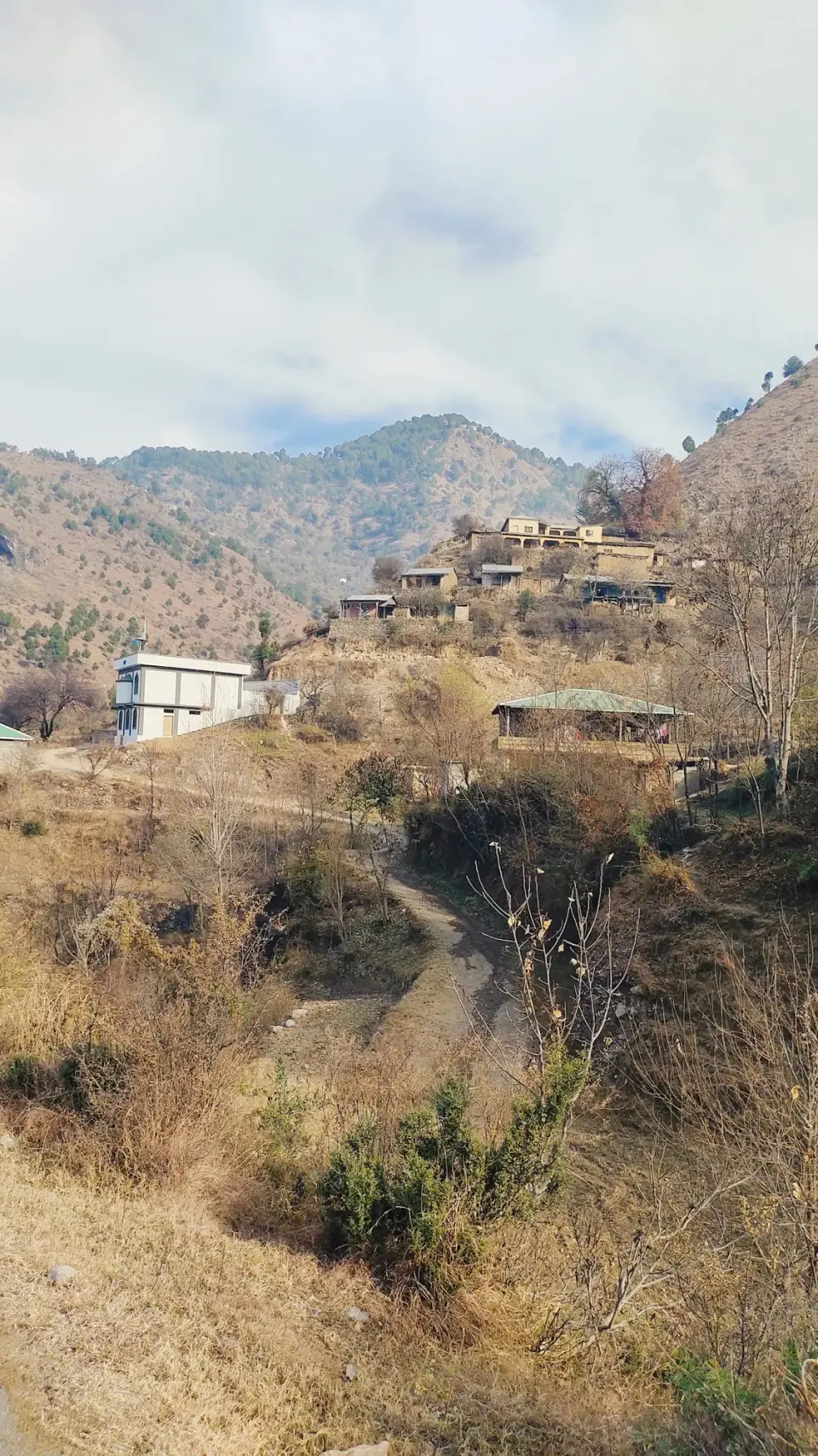
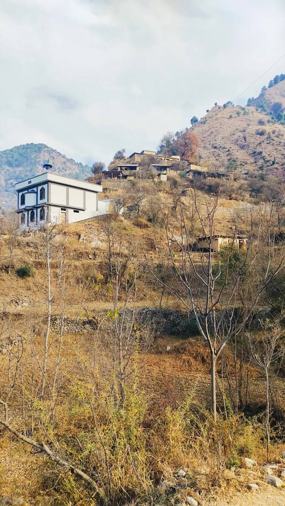
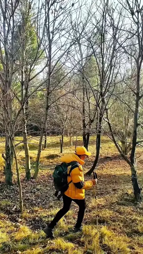
Kakul Reshiyan to Kala Pani: RHCP hike photo 9 of 18

Kakul Reshiyan to Kala Pani

via Munshi di Gali, Neri Forest, Jogan Top, Bainsan di Gali and Patti ForestDec 15 – 17, 2025KakulHiked in winter

Overview

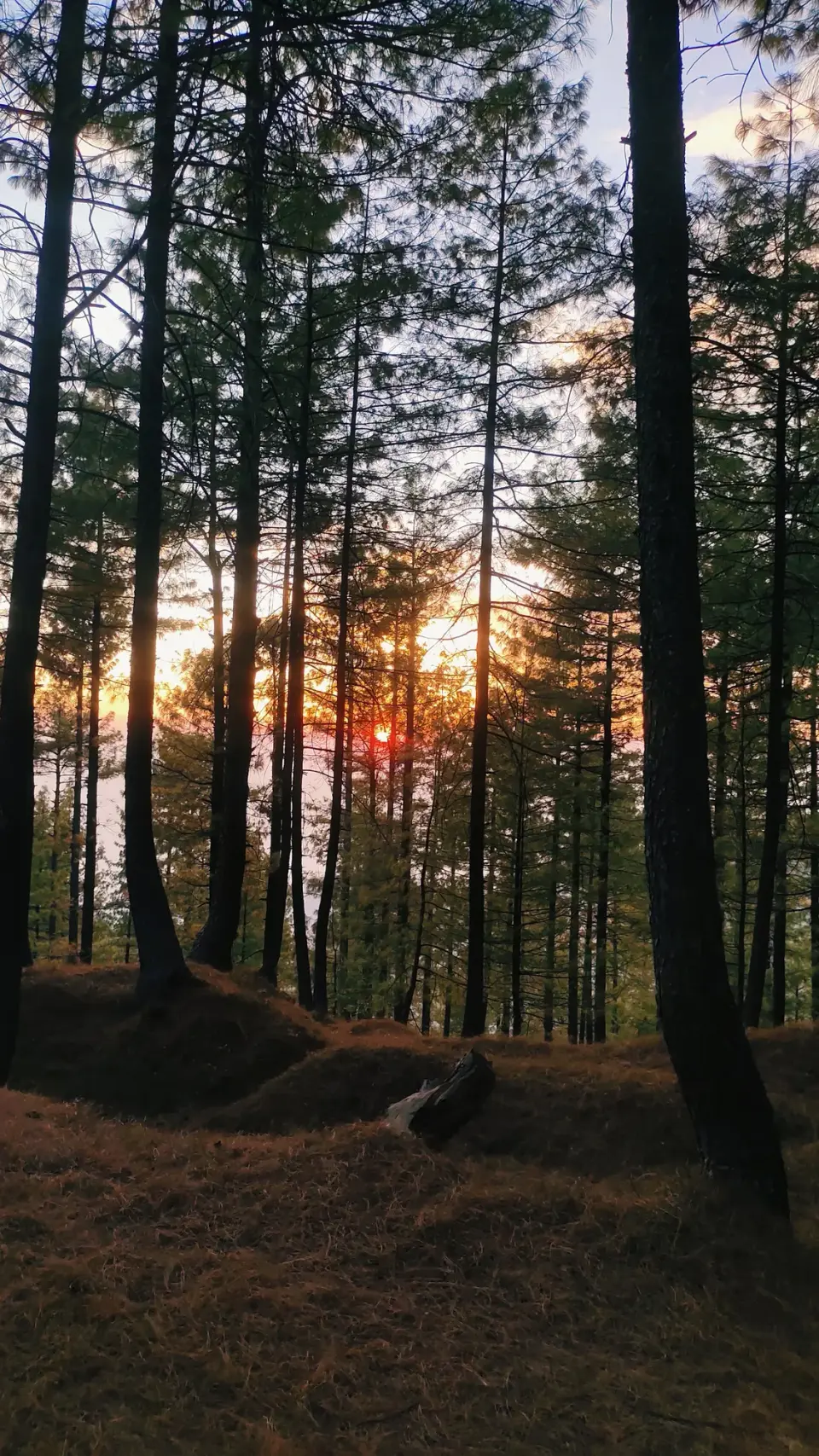
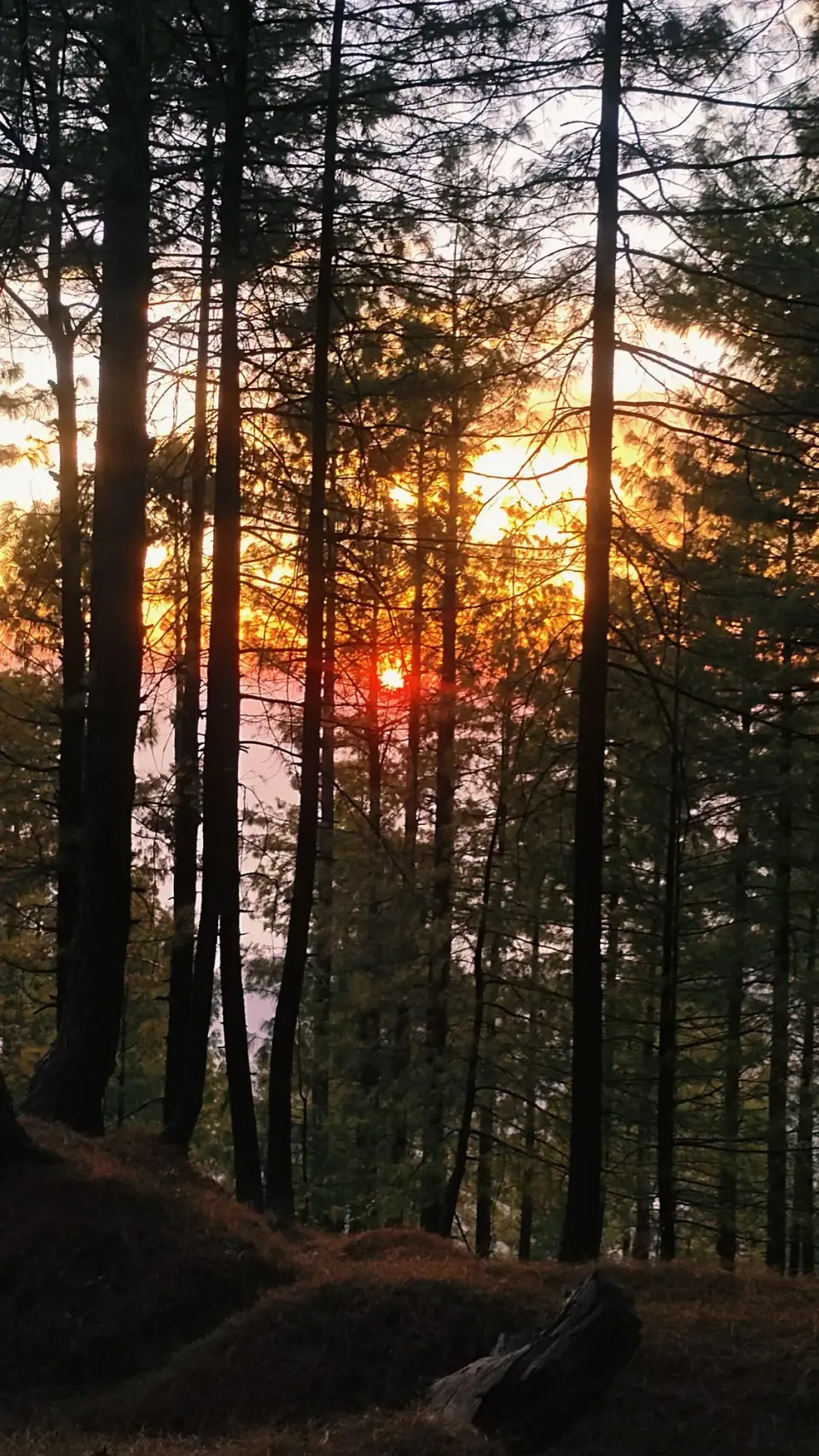
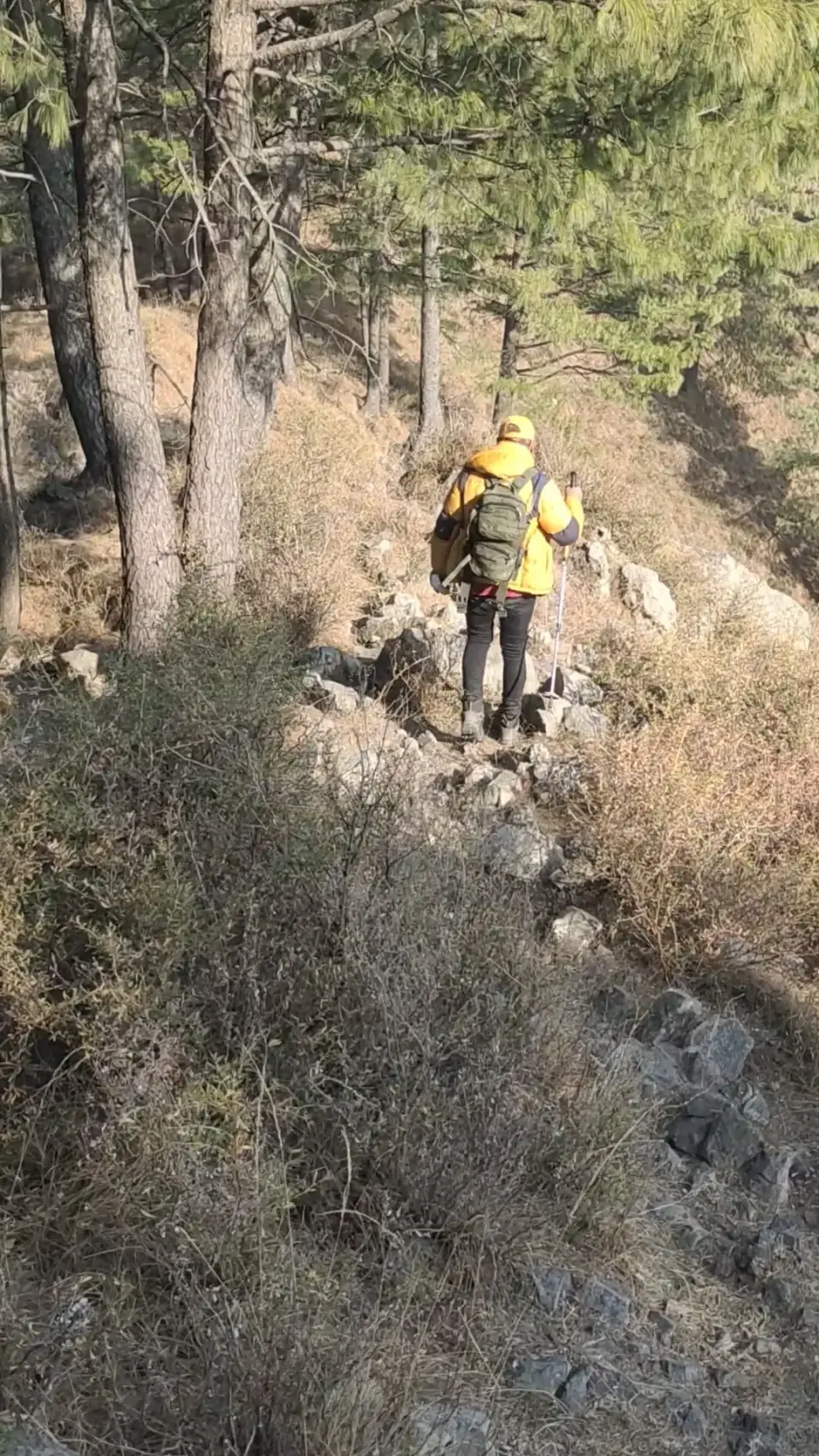
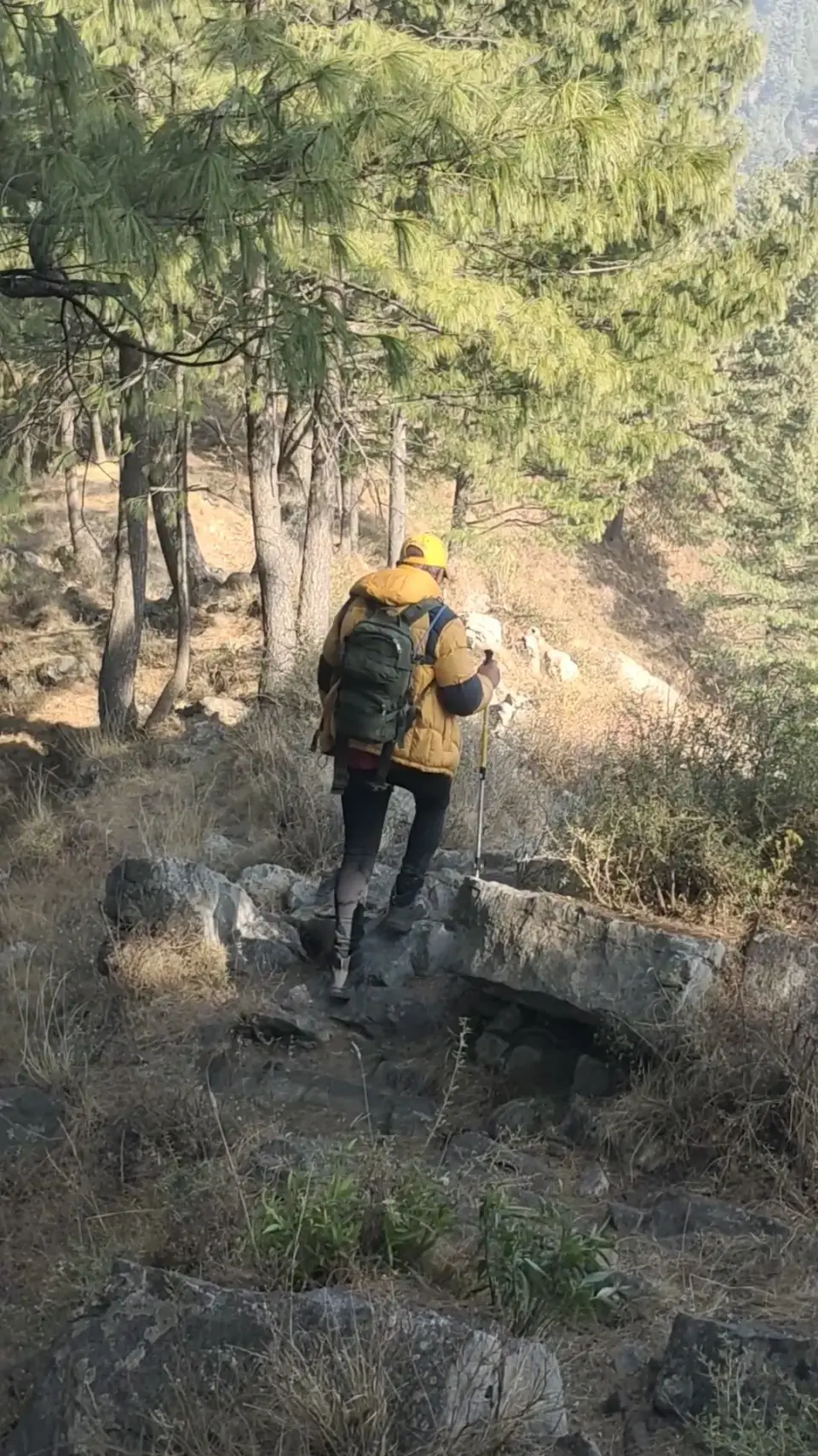
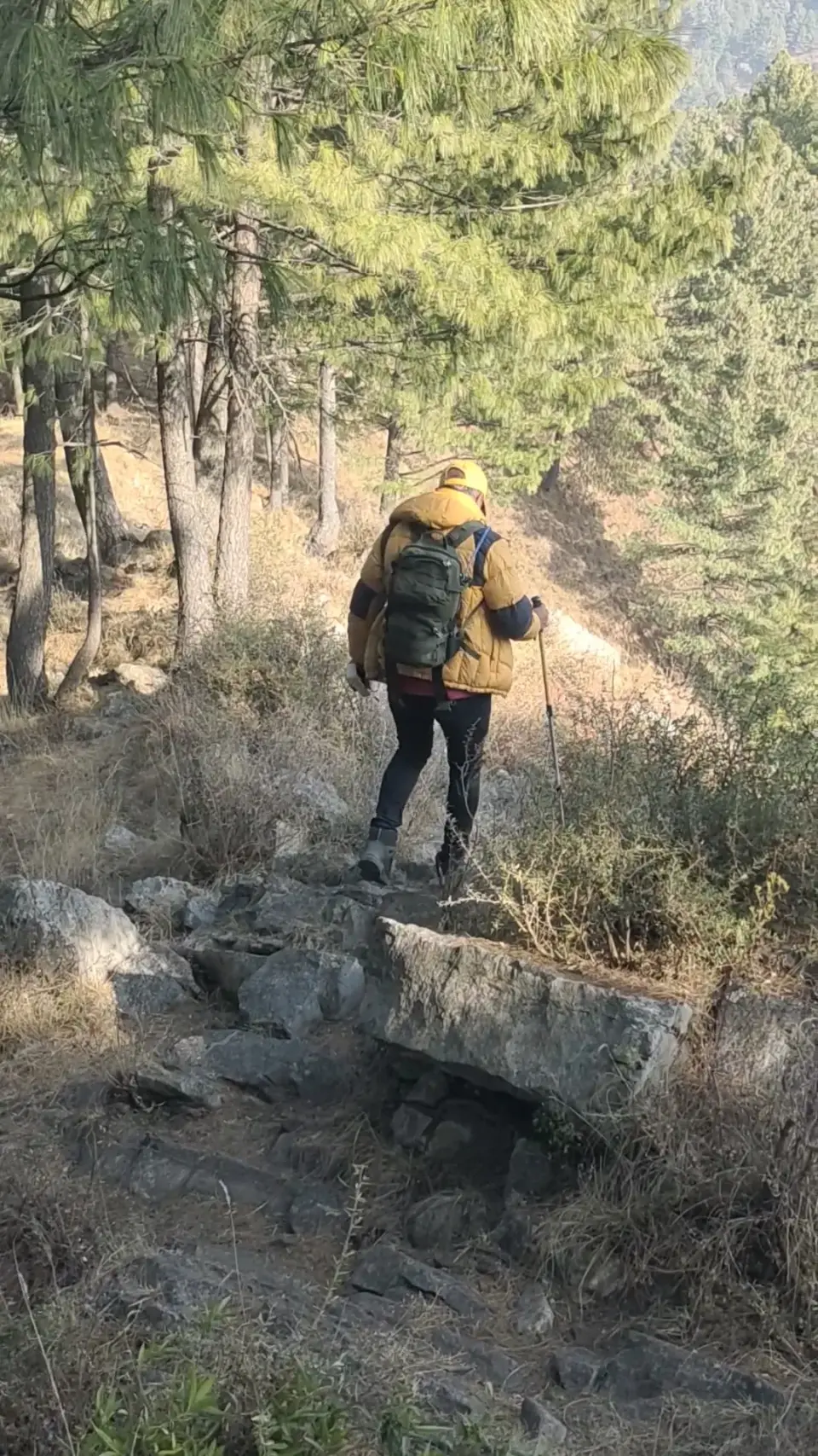
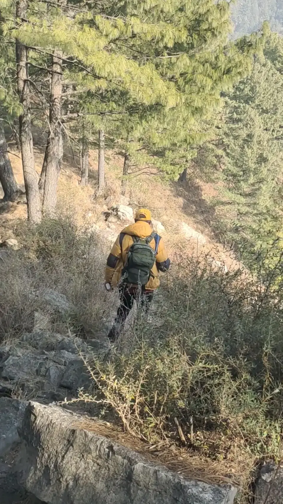
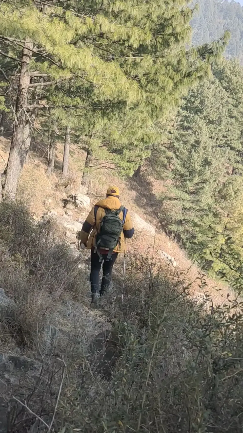
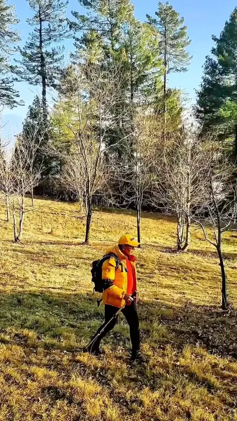
A three-day traverse through the forested hills behind Kakul, crossing several local passes and Jogan Top before descending through the Patti forest to Kala Pani. Only the start and finish villages are documented online.134

A little history

Kakul hosted a Boer War prisoner-of-war camp around 1899-1902, then an army mountaineering and PT school, and became the Pakistan Military Academy after 1947.1

How to get there

Kakul is about 5 km from Abbottabad's main bazaar via Kakul Road; local rickshaws and buses run towards Kakul.6

Return from Kala Pani by road along the Abbottabad-Thandiani Road.3

Highlights

  • Patti forest, on the Mera Rehmat Khan-Thandiani side4
  • Finish at Kala Pani, a valley village with a stream and nearby waterfall37

Points along the way

PointFigure
Kakul elevation (point)1532 m per English Wikipedia; 1,300 m per Simple English Wikipedia (sources disagree)12
Kala Pani village altitude (point)1762 m (5784 ft) per Wikipedia; 'nearly 6,656 feet' per FlyPakistan (sources disagree)35

Before you go

  • PMA Kakul is a military area; keep to public paths and do not photograph installations.1
  • Heavy winter snow and deep ravines around Kala Pani; check weather before a December multi-day trip.3
  • Leopards occur in the area and have attacked people; camp as a group and store food securely.3
  • Carry enough water, warm sleeping gear, and leave your route with someone.

Still to record Distance, Highest point, Elevation gain, duration (beyond the album's 3 days), Difficulty, Best season, Jogan Top elevation/location, Neri forest, Munshi di Gali, Bainsan di Gali, Reshiyan locality. We only publish figures we can source.

From the club album

18 photographs
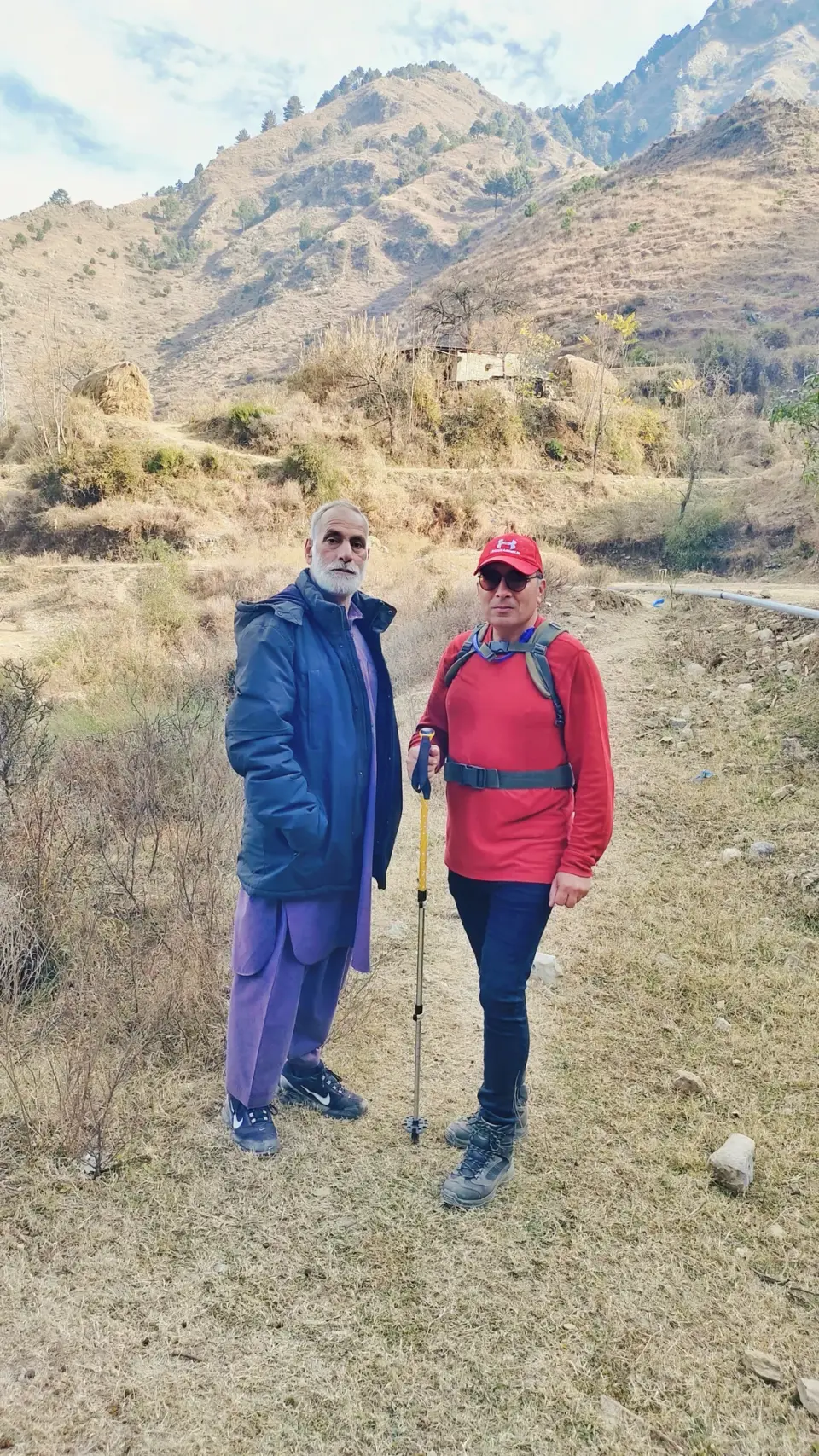
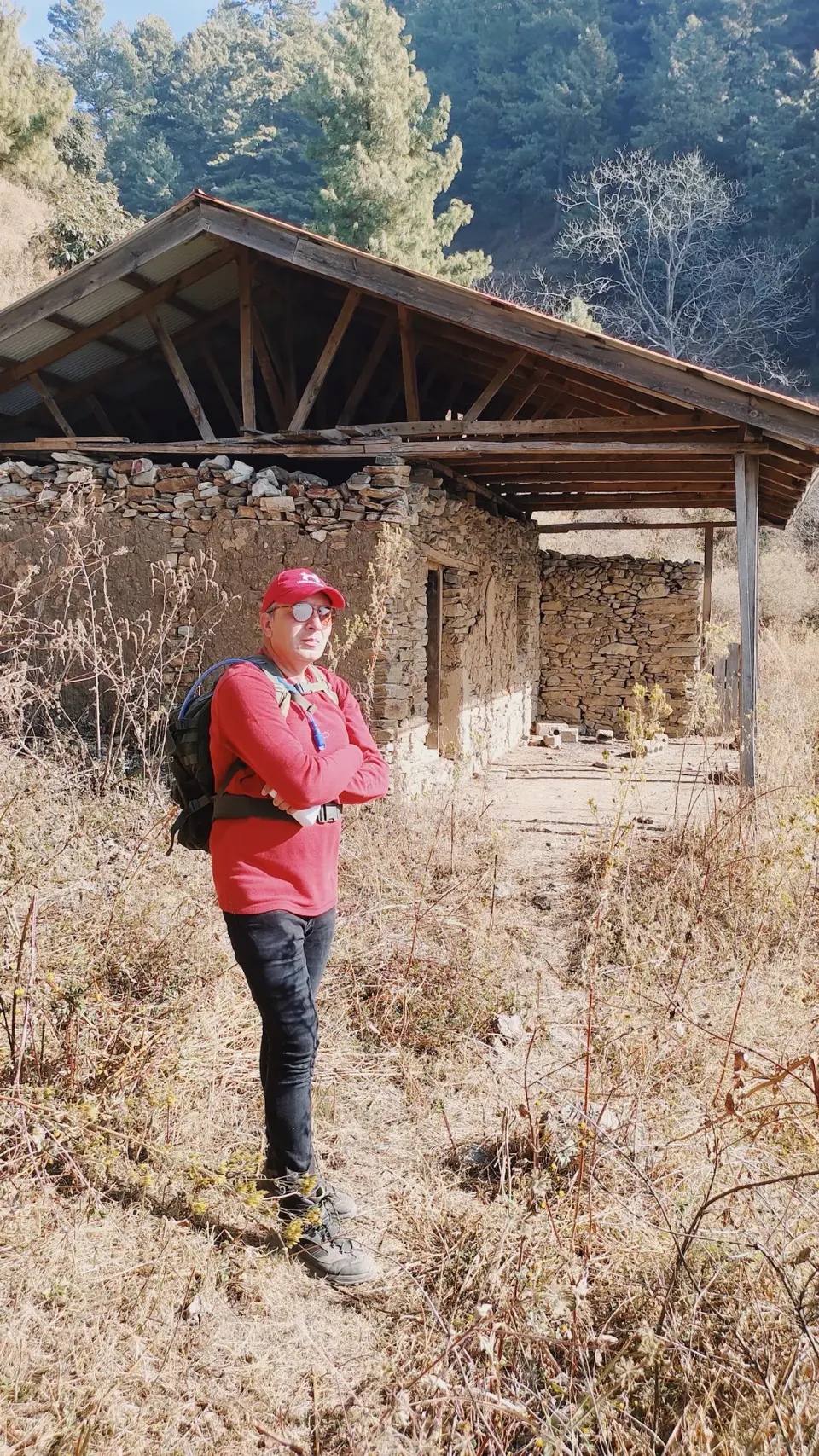
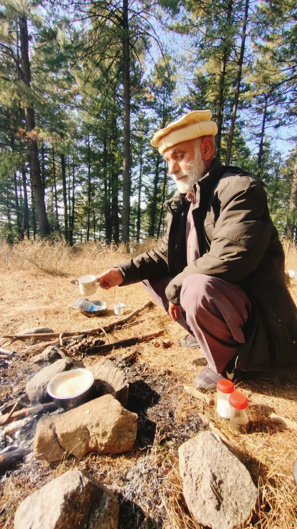
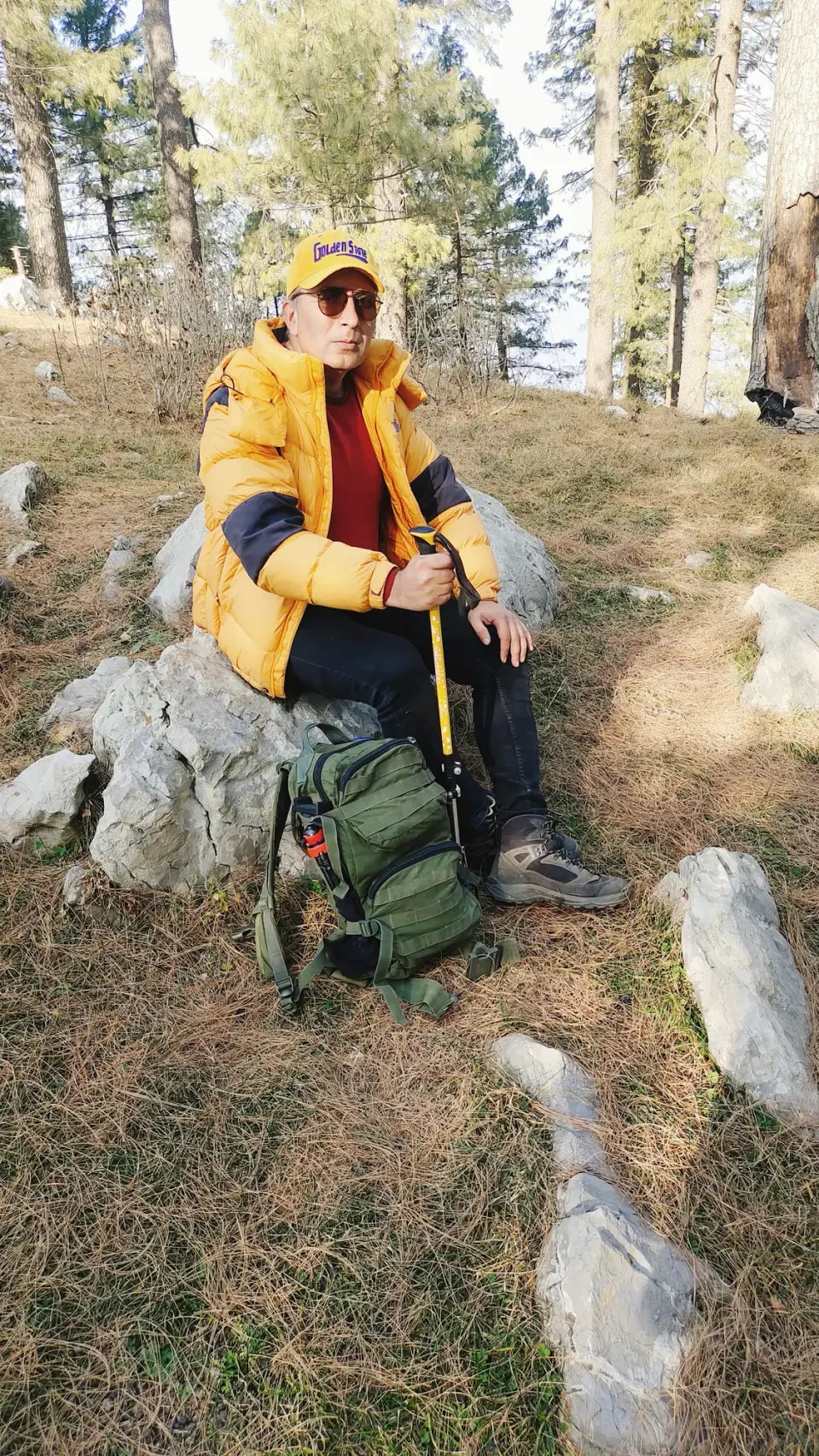
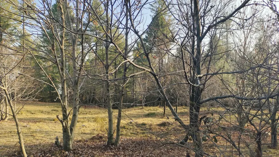
Kakul Reshiyan to Kala Pani: RHCP hike photo 1 of 18Kakul Reshiyan to Kala Pani: RHCP hike photo 2 of 18Kakul Reshiyan to Kala Pani: RHCP hike photo 3 of 18Kakul Reshiyan to Kala Pani: RHCP hike photo 4 of 18Kakul Reshiyan to Kala Pani: RHCP hike photo 5 of 18Kakul Reshiyan to Kala Pani: RHCP hike photo 6 of 18Kakul Reshiyan to Kala Pani: RHCP hike photo 7 of 18Kakul Reshiyan to Kala Pani: RHCP hike photo 8 of 18Kakul Reshiyan to Kala Pani: RHCP hike photo 9 of 18Kakul Reshiyan to Kala Pani: RHCP hike photo 10 of 18Kakul Reshiyan to Kala Pani: RHCP hike photo 11 of 18Kakul Reshiyan to Kala Pani: RHCP hike photo 12 of 18Kakul Reshiyan to Kala Pani: RHCP hike photo 13 of 18Kakul Reshiyan to Kala Pani: RHCP hike photo 14 of 18Kakul Reshiyan to Kala Pani: RHCP hike photo 15 of 18Kakul Reshiyan to Kala Pani: RHCP hike photo 16 of 18Kakul Reshiyan to Kala Pani: RHCP hike photo 17 of 18Kakul Reshiyan to Kala Pani: RHCP hike photo 18 of 18

Sources

  1. Kakol, Abbottabad - Wikipedia
  2. Kakul - Simple English Wikipedia
  3. Kala Pani, Pakistan - Wikipedia
  4. Abbottabad. Abbottabad Chair Lift - Tour de North
  5. Kala Pani-Abbottabad - FlyPakistan
  6. Discover the Serene Beauty of Kakul Valley - Evendo
  7. Kala Pani - TravelerTrails
  8. RHCP photo album: کاکول ریشیاں سے منشی دی گلی، نیری کا جنگل ، جوگن ٹاپ ، بینساں دی گلی اور پٹی کا جنگل اور اختتام کالا پانی