RHCPRunning & Hiking Club Pakistan
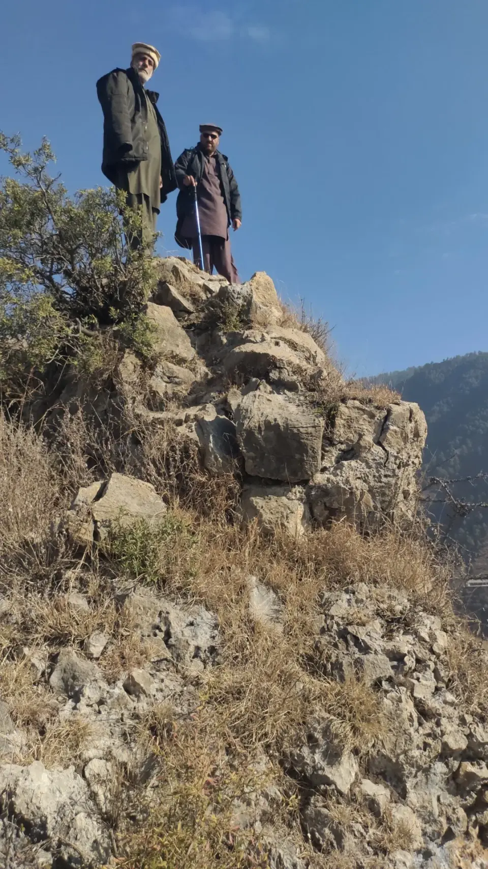
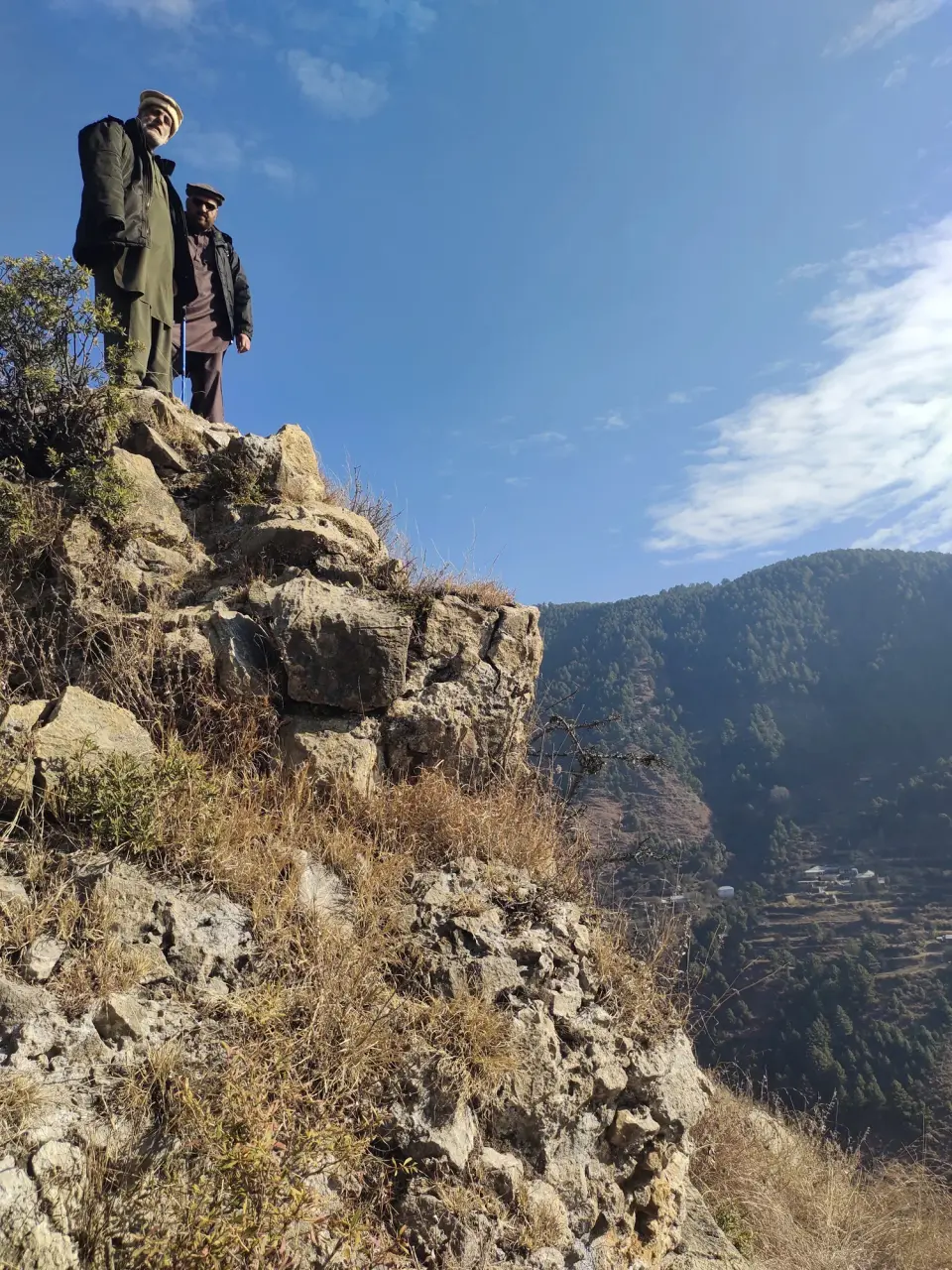
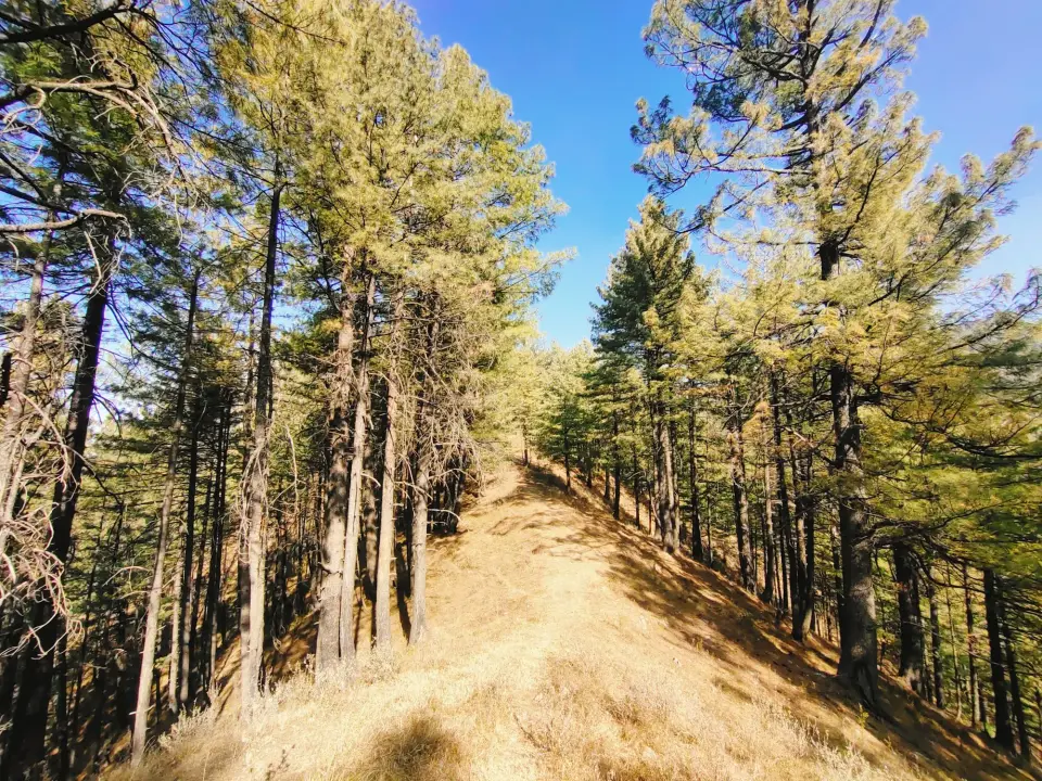
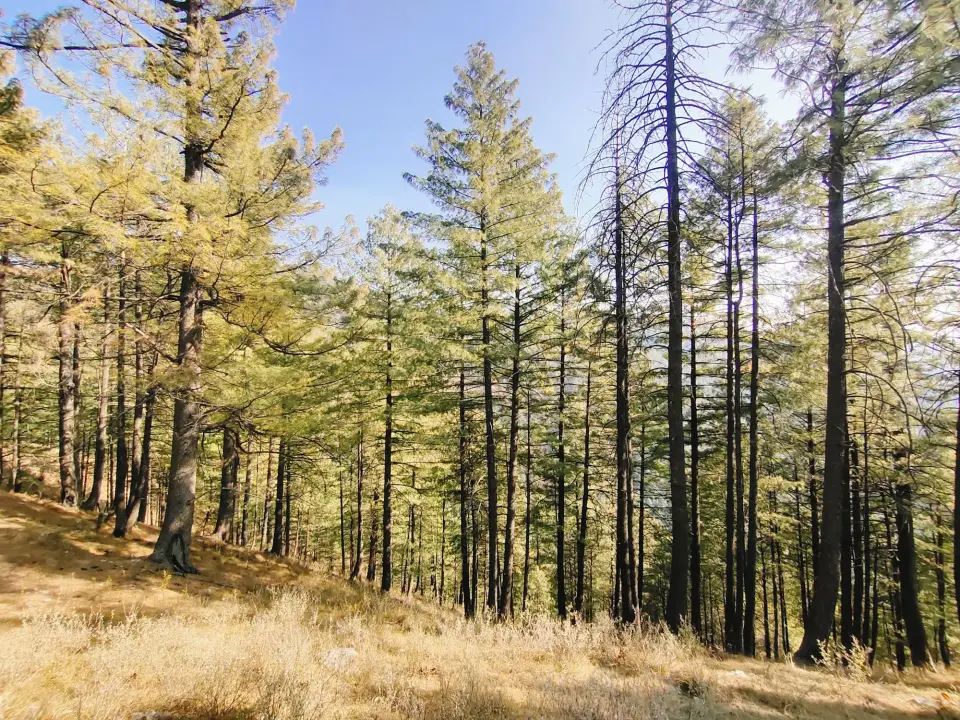
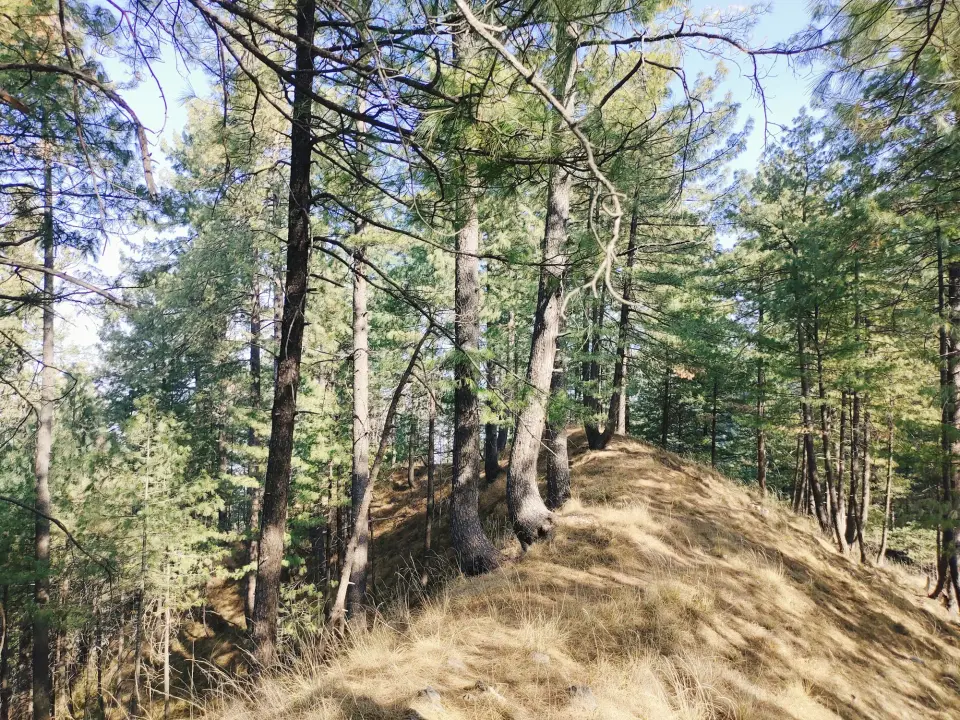
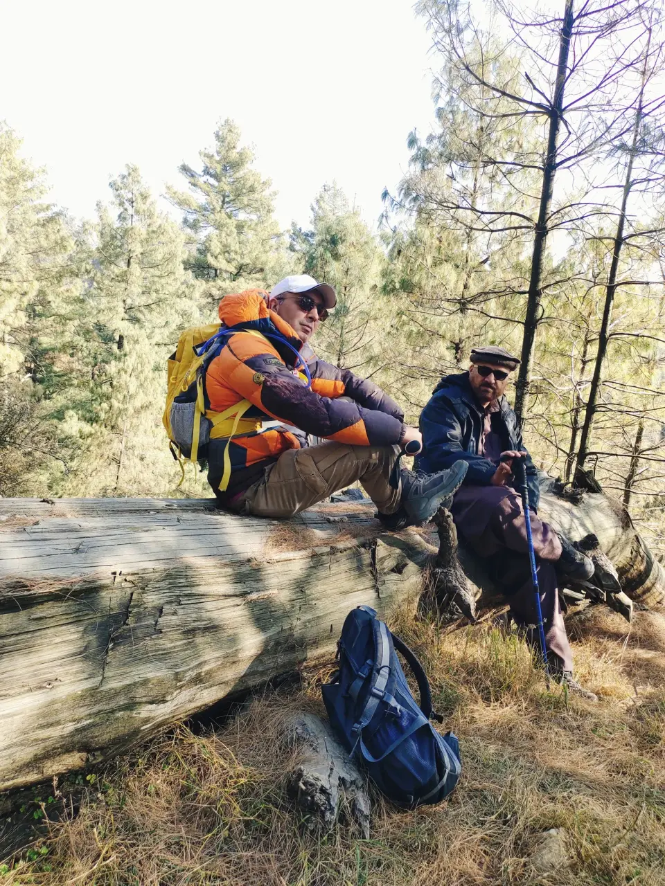
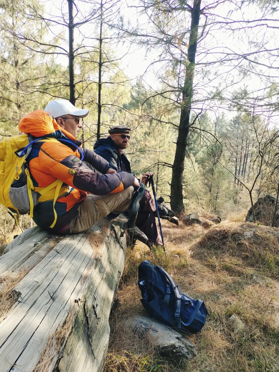
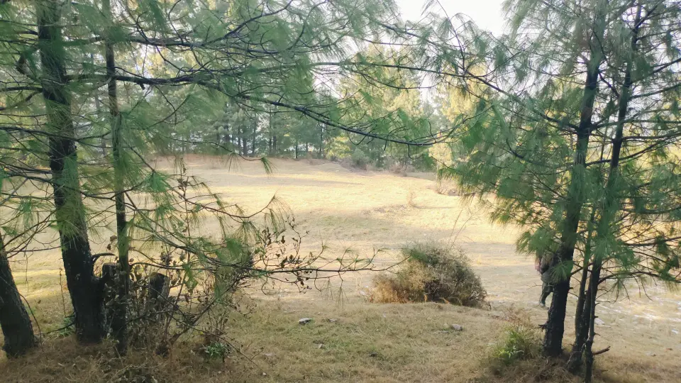
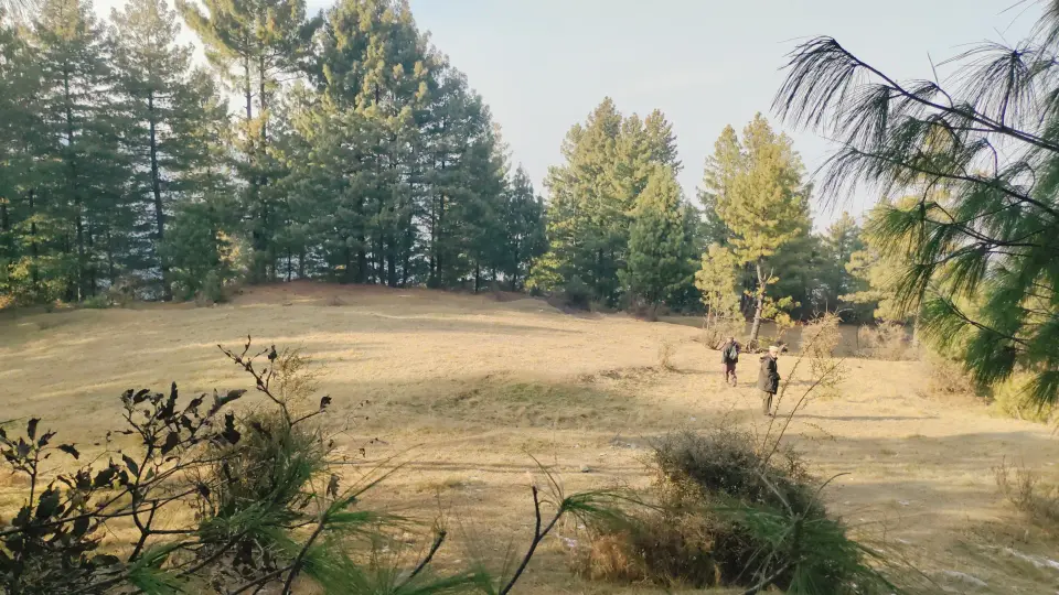
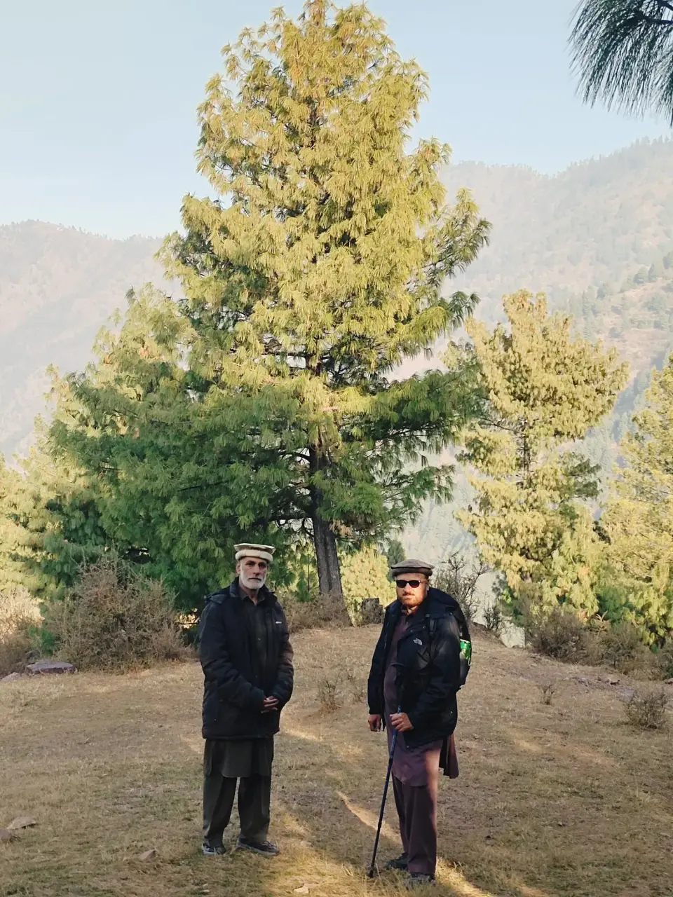
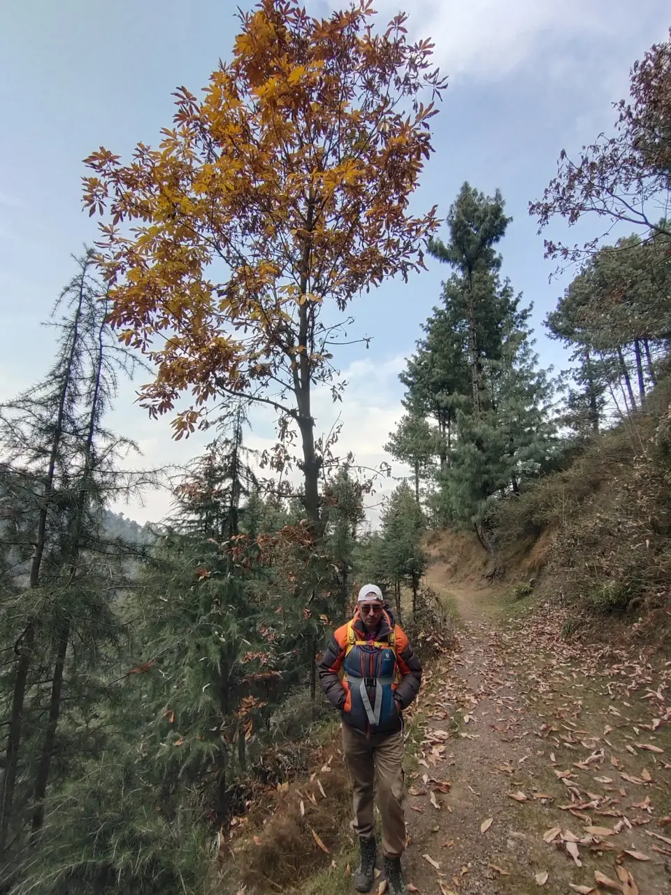
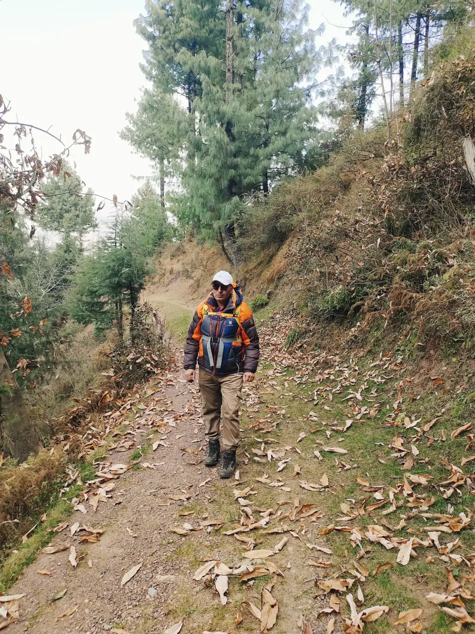
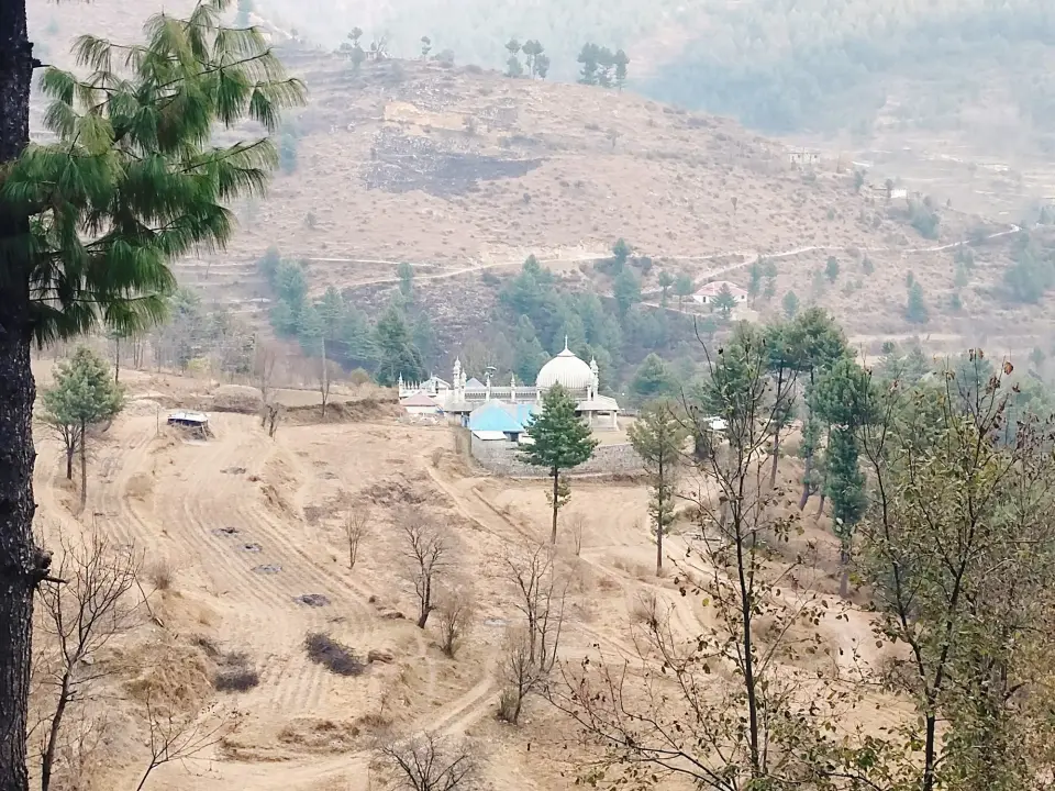
Kakul to Kala Pani via Jogan Top: RHCP hike photo 12 of 18

Kakul to Kala Pani via Jogan Top

via Neri Forest, Bainsan di Gali, Galiyan di Gali (Mera Rehmat Khan) and Saray di GaliDec 4, 2025KakulHiked in winter

Overview

A long ridge route from Kakul over Jogan Top and a series of local passes to Mera Rehmat Khan, which sits between Thandiani mountain and Kala Pani, then down to Kala Pani. Only Kakul, Mera Rehmat Khan and Kala Pani are documented online.134

A little history

Kakul grew from a Boer War prisoner-of-war camp (around 1899-1902) into an army mountaineering and PT school and then the Pakistan Military Academy.1

How to get there

Kakul is about 5 km from Abbottabad's main bazaar via Kakul Road; rickshaws and local buses run there.6

Mera Rehmat Khan, passed mid-route, is the top station of the Abbottabad chairlift from Township/Nawansher, giving a possible exit.5

Return from Kala Pani by road along the Abbottabad-Thandiani Road.3

Highlights

  • Pass Mera Rehmat Khan, upper end of the Abbottabad chairlift5
  • Finish at Kala Pani, whose spring water feeds the Harnoi River4

Points along the way

PointFigure
Kakul elevation (point)1532 m per English Wikipedia; 1,300 m per Simple English Wikipedia (sources disagree)12
Kala Pani village altitude (point)1762 m (5784 ft) per Wikipedia; 'nearly 6,656 feet' per FlyPakistan (sources disagree)34

Before you go

  • PMA Kakul is a military area; keep to public paths and do not photograph installations.1
  • Expect snow and dangerous ravine roads around Kala Pani in winter.3
  • Leopards occur around Kala Pani and have attacked people; stay in a group.3
  • Carry water and tell someone your plan.

Still to record Distance, Highest point, Elevation gain, Duration, Difficulty, Best season, Jogan Top elevation/location, Neri forest, Bainsan di Gali, Galiyan di Gali, Saray di Gali, Mera Rehmat Khan elevation. We only publish figures we can source.

From the club album

18 photographs
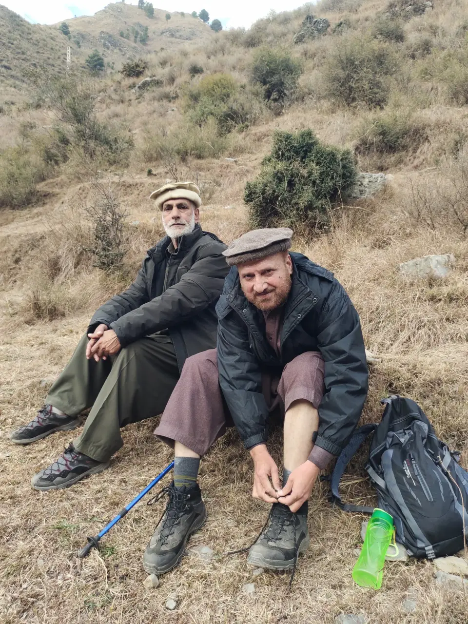
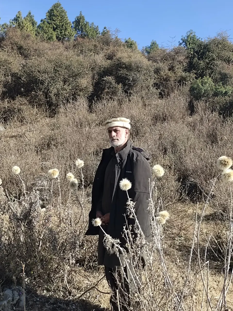
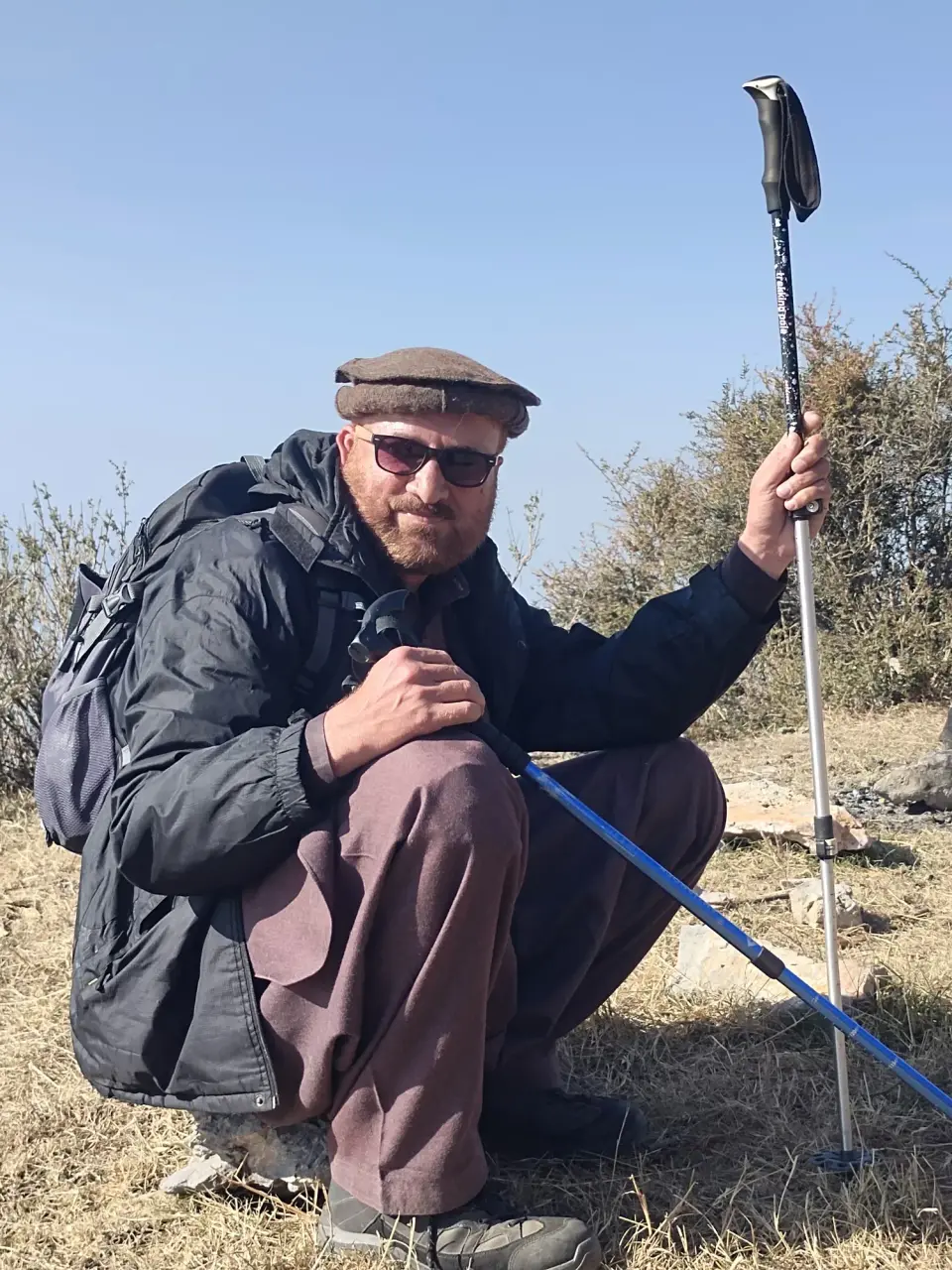
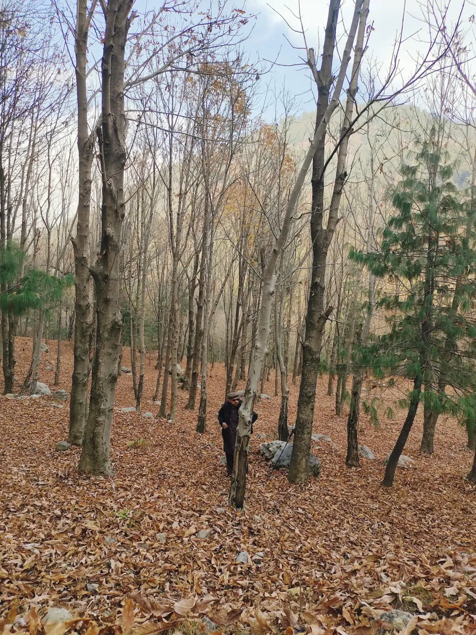
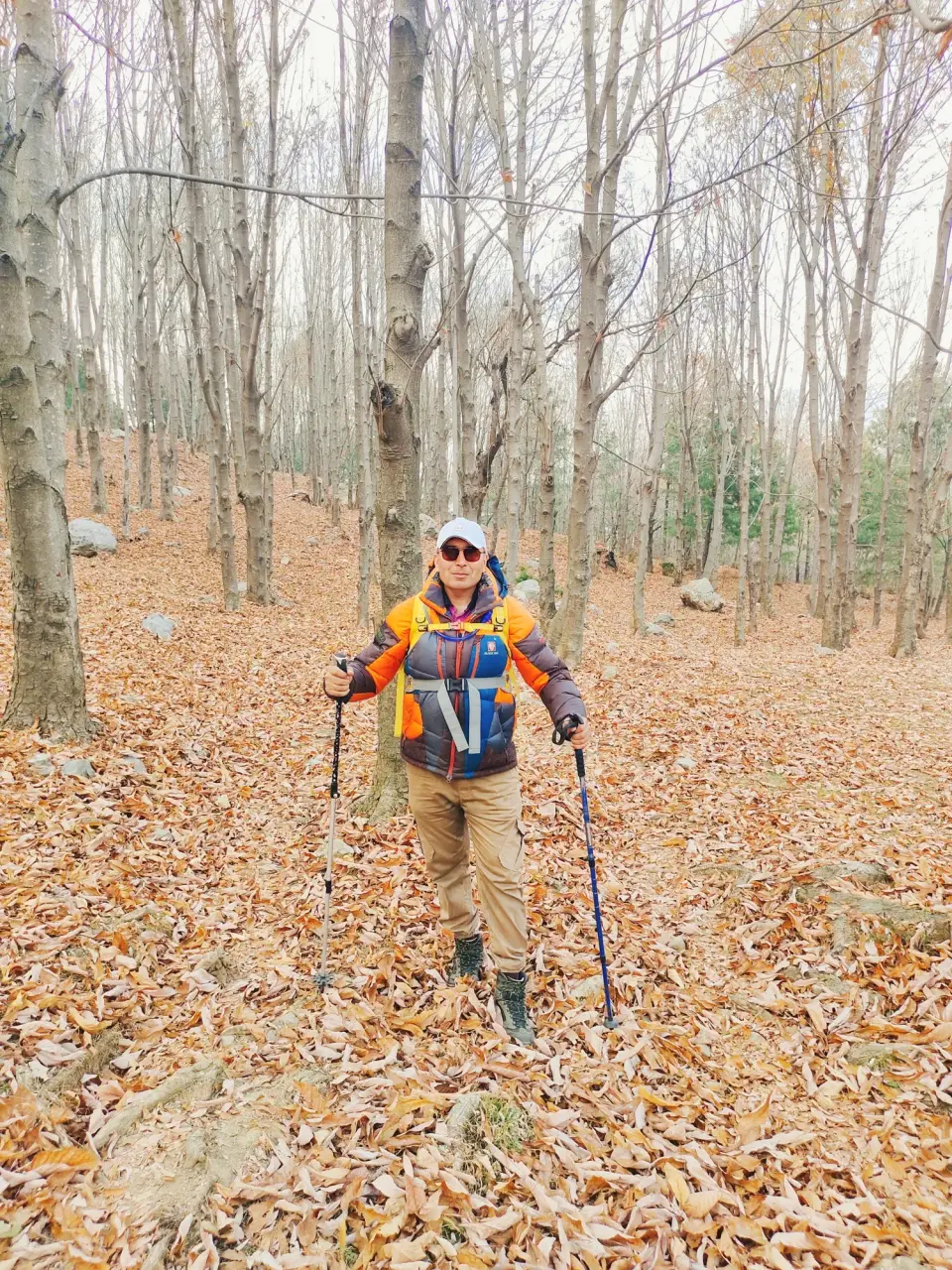
Kakul to Kala Pani via Jogan Top: RHCP hike photo 1 of 18Kakul to Kala Pani via Jogan Top: RHCP hike photo 2 of 18Kakul to Kala Pani via Jogan Top: RHCP hike photo 3 of 18Kakul to Kala Pani via Jogan Top: RHCP hike photo 4 of 18Kakul to Kala Pani via Jogan Top: RHCP hike photo 5 of 18Kakul to Kala Pani via Jogan Top: RHCP hike photo 6 of 18Kakul to Kala Pani via Jogan Top: RHCP hike photo 7 of 18Kakul to Kala Pani via Jogan Top: RHCP hike photo 8 of 18Kakul to Kala Pani via Jogan Top: RHCP hike photo 9 of 18Kakul to Kala Pani via Jogan Top: RHCP hike photo 10 of 18Kakul to Kala Pani via Jogan Top: RHCP hike photo 11 of 18Kakul to Kala Pani via Jogan Top: RHCP hike photo 12 of 18Kakul to Kala Pani via Jogan Top: RHCP hike photo 13 of 18Kakul to Kala Pani via Jogan Top: RHCP hike photo 14 of 18Kakul to Kala Pani via Jogan Top: RHCP hike photo 15 of 18Kakul to Kala Pani via Jogan Top: RHCP hike photo 16 of 18Kakul to Kala Pani via Jogan Top: RHCP hike photo 17 of 18Kakul to Kala Pani via Jogan Top: RHCP hike photo 18 of 18

Sources

  1. Kakol, Abbottabad - Wikipedia
  2. Kakul - Simple English Wikipedia
  3. Kala Pani, Pakistan - Wikipedia
  4. Kala Pani-Abbottabad - FlyPakistan
  5. Abbottabad. Abbottabad Chair Lift - Tour de North
  6. Discover the Serene Beauty of Kakul Valley - Evendo
  7. RHCP photo album: کاکول سے نیری کا جنگل، جوگن ٹاپ، بینساں دی گلی، اور گلیاں دی گلی میرہ رحمت خان اور وہاں سے سرے دی گلی اور اختتام کالا پانی